Home
Contact
About Us
My Account
+61 404 131 697
sclark@theoldmapshop.com
My Account
Welcome to The Old Map Shop!
Login
Create Account
0
The Old Map Shop
Maps
Africa
America
Canada
Mexico
United States
South America
Asia
Afghanistan
China
India
Indonesia
Japan
Korea
Malaysia
Pakistan
Philippines
Sri Lanka - Ceylon
Thailand
Australia & Oceania
Australia
Canberra
Hobart
Melbourne
Sydney
New Zealand
Oceania
Europe
Austria
Belgium
Denmark
France
Germany
Greece
Ireland
Italy
Luxembourg
Netherlands
Poland
Portugal
Russia
Spain
Sweden
Switzerland
Middle East
Arabia
Iran
Israel
Palestine
Turkey
Great Britain
England
Ireland
Scotland
Wales
Celestial
Pictorial Maps
Archived - Sold
Prints
Botanical
Sowerby - Wildflowers
Lindman - Flowers
Lowe - Ferns
Eggs & Nests
Fairies
Cicely Mary Barker
Ida Rentoul Outhwaite
Ferns
Shells
Country Life
Portraits
Currency
AUD - (Australian $)
CAD - (Canadian $)
EUR - (Europe € )
GBP - (British £ )
NZD - (New Zealand $)
USD - (United States $)
0
Shopping Cart
Your cart is currently empty.
Continue Shopping
My Account
Welcome to The Old Map Shop!
Login
Create Account
Home
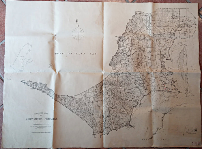
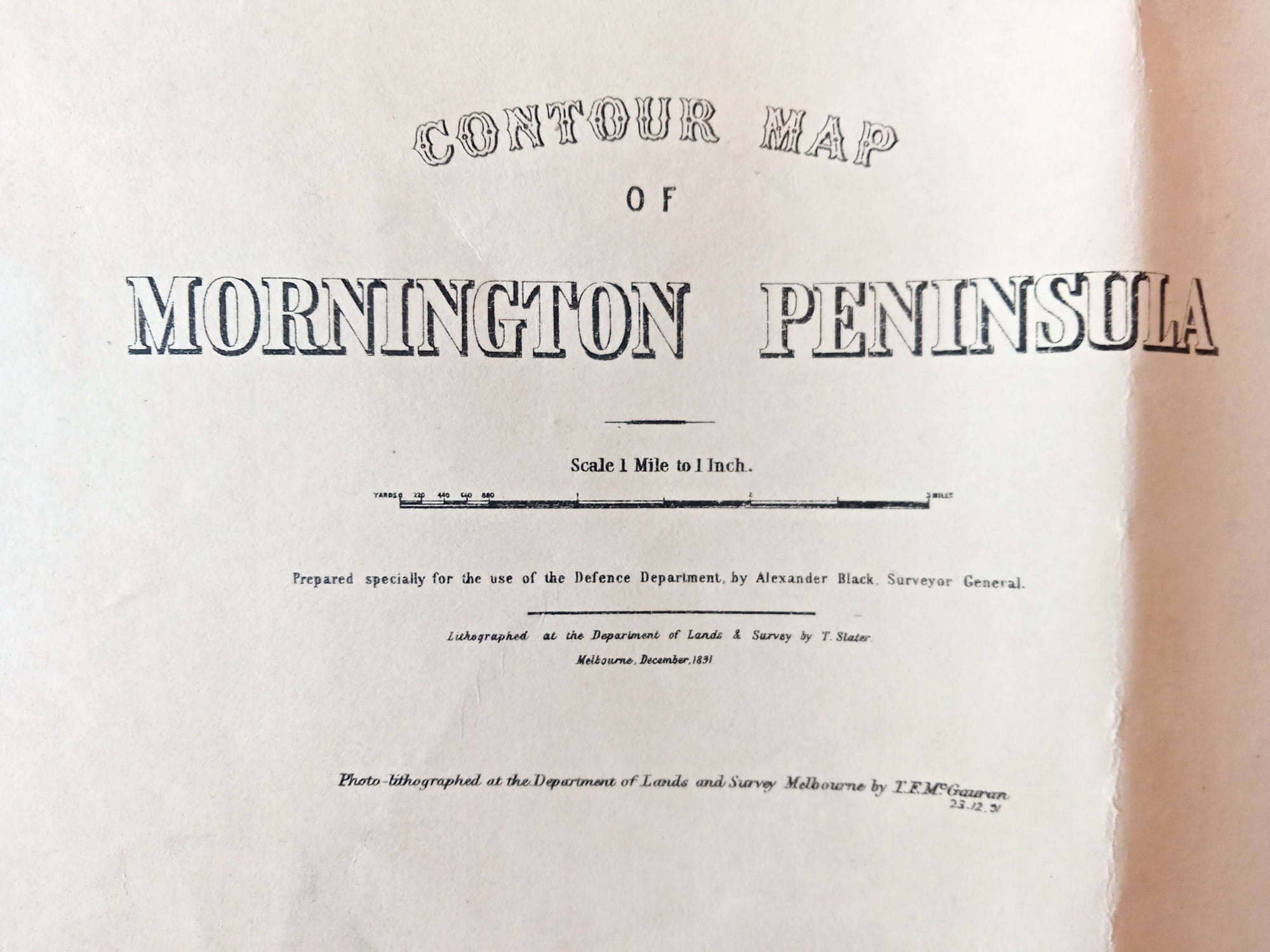
1891 Alexander Black Contour Map of Mornington Peninsula Victoria Australia
1891 Alexander Black Contour Map of Mornington Peninsula Victoria Australia
Product Description
Default Title - $2,975.00 USD
$2,975.00
Maximum quantity available reached.
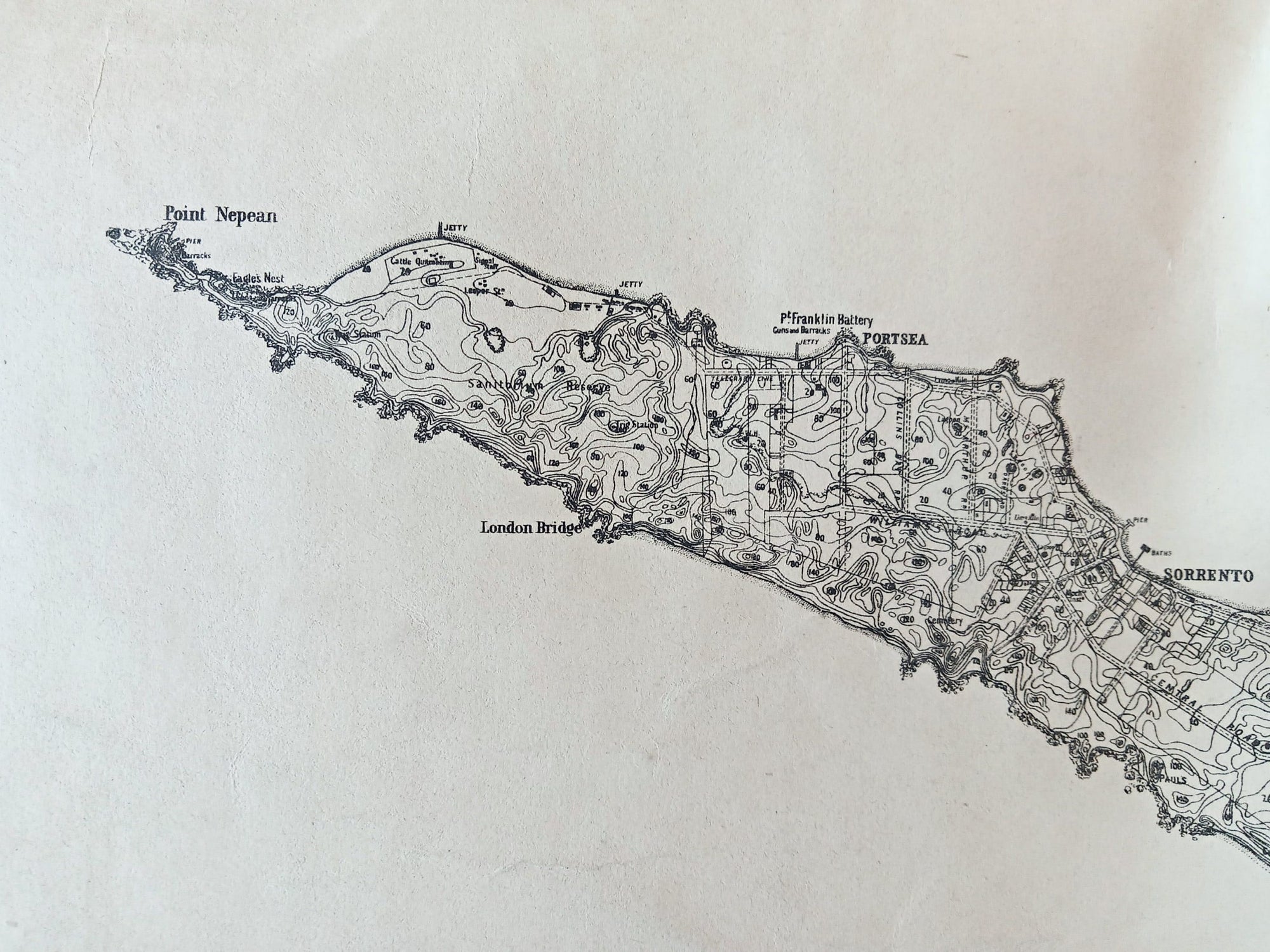
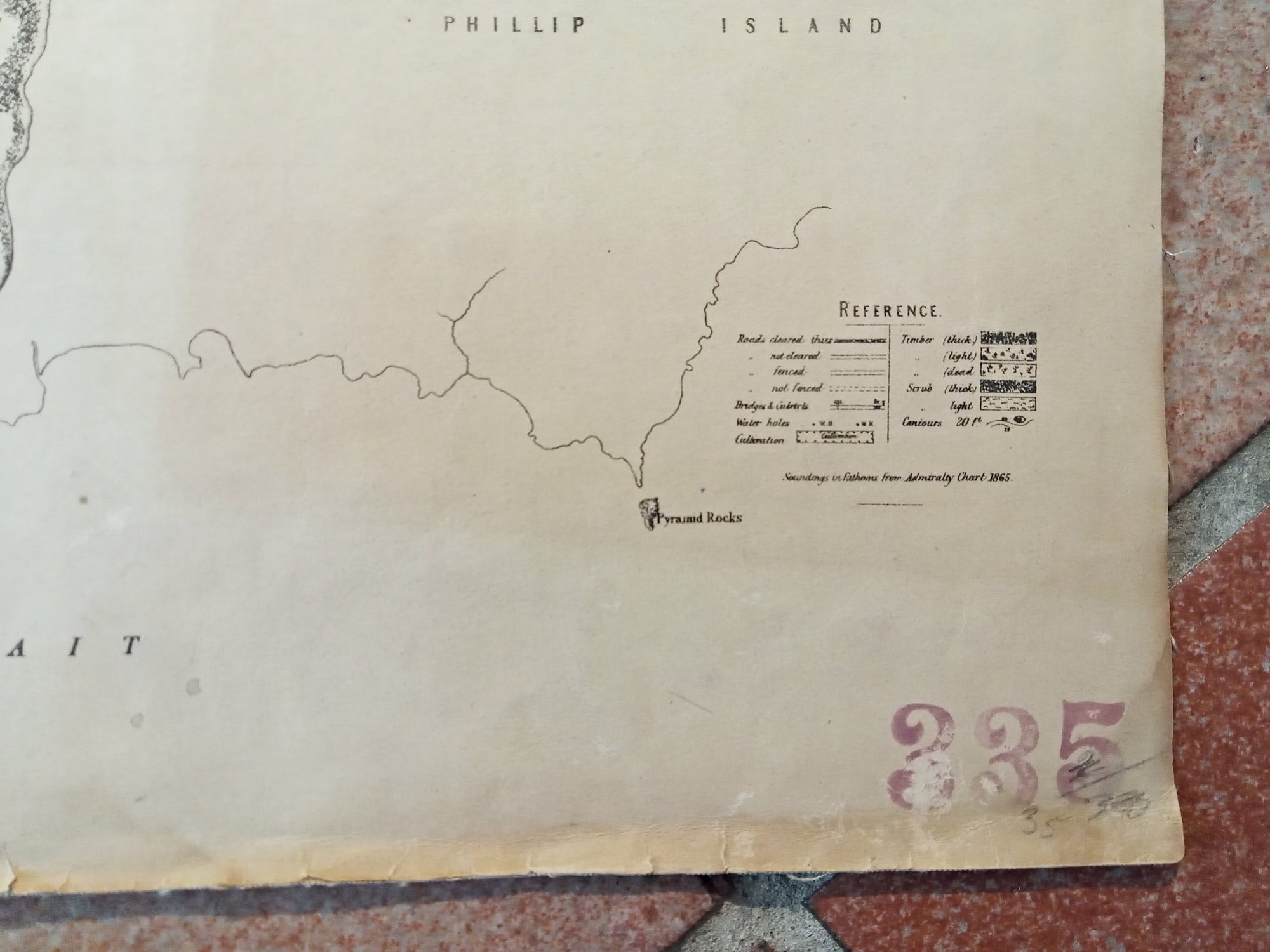
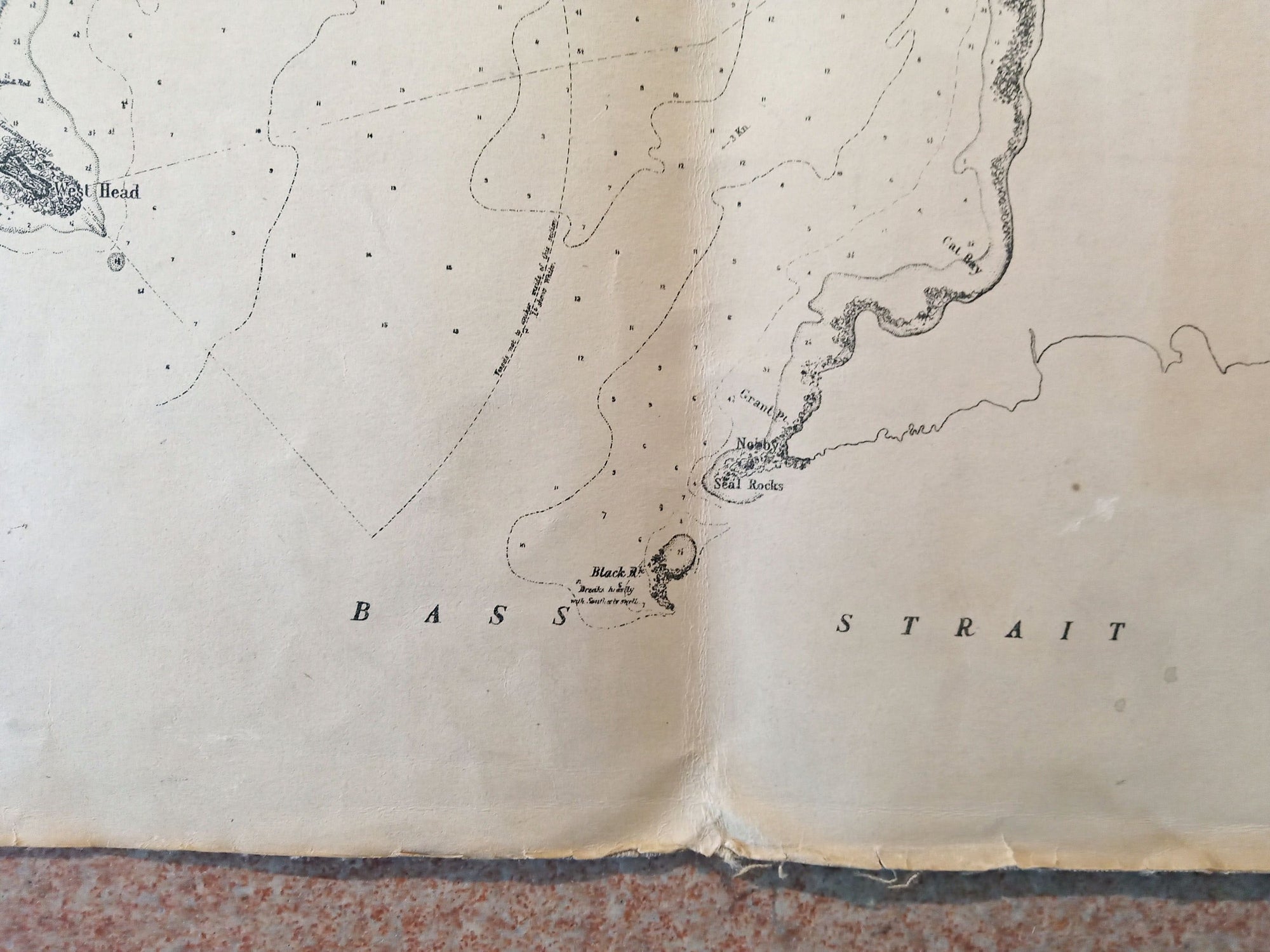
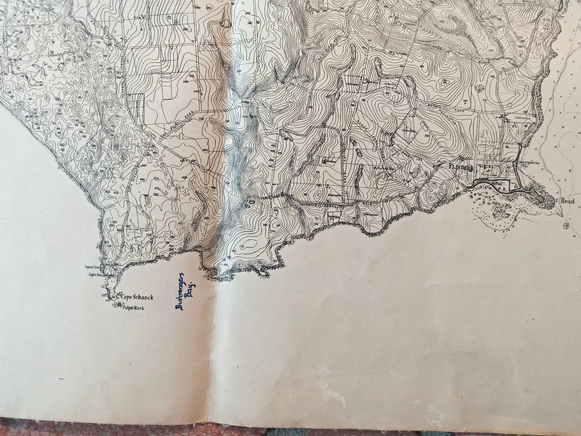
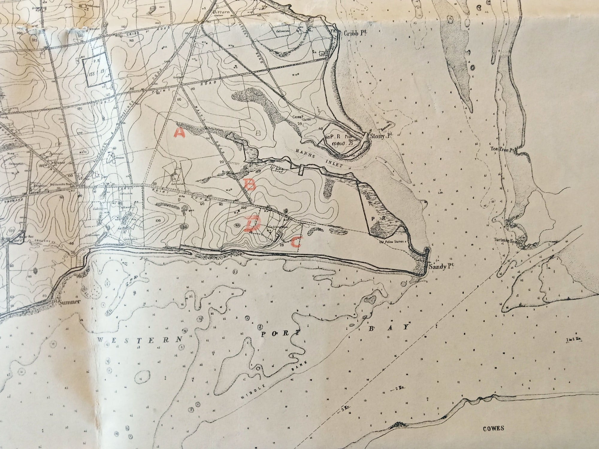
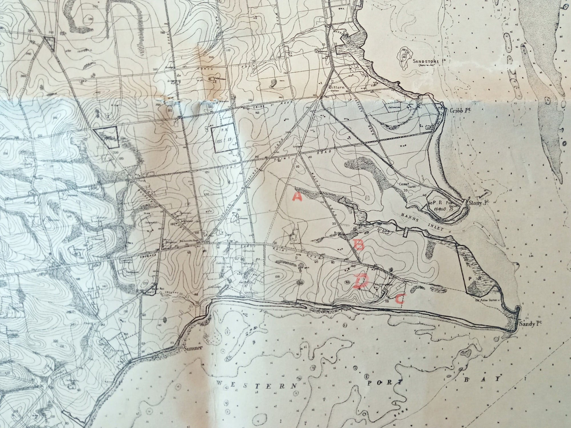
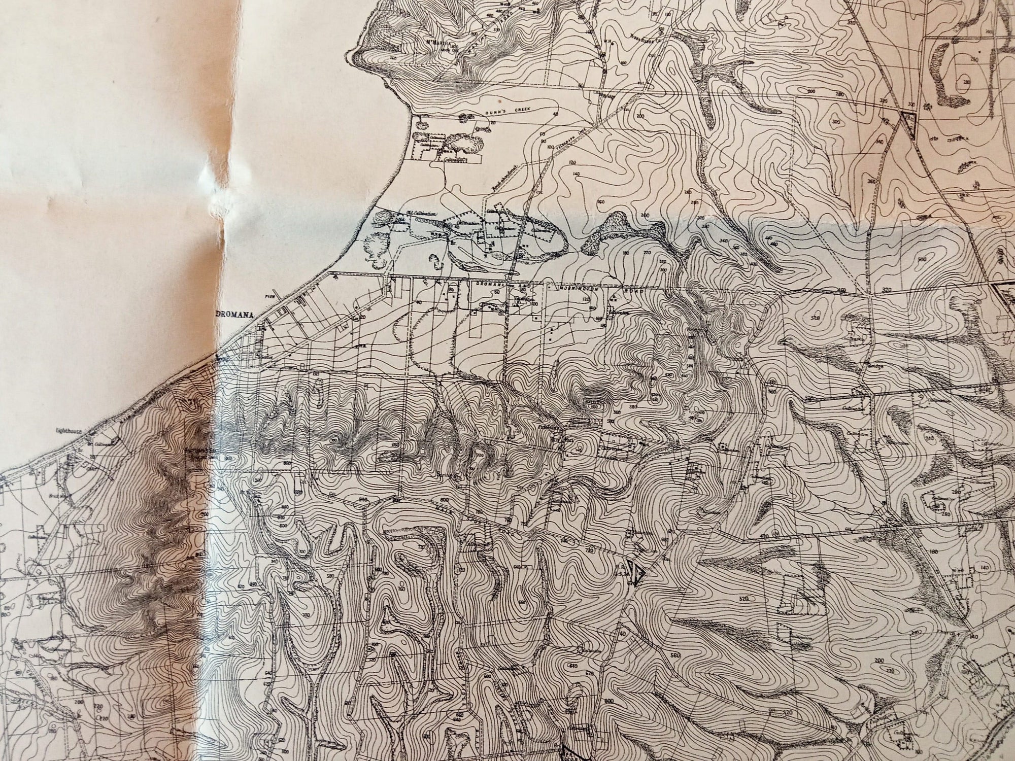
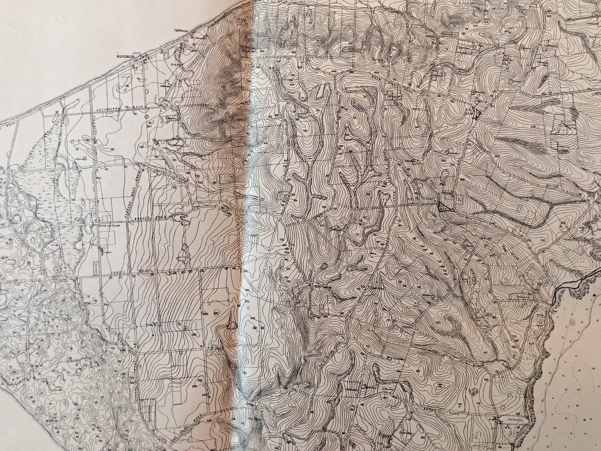
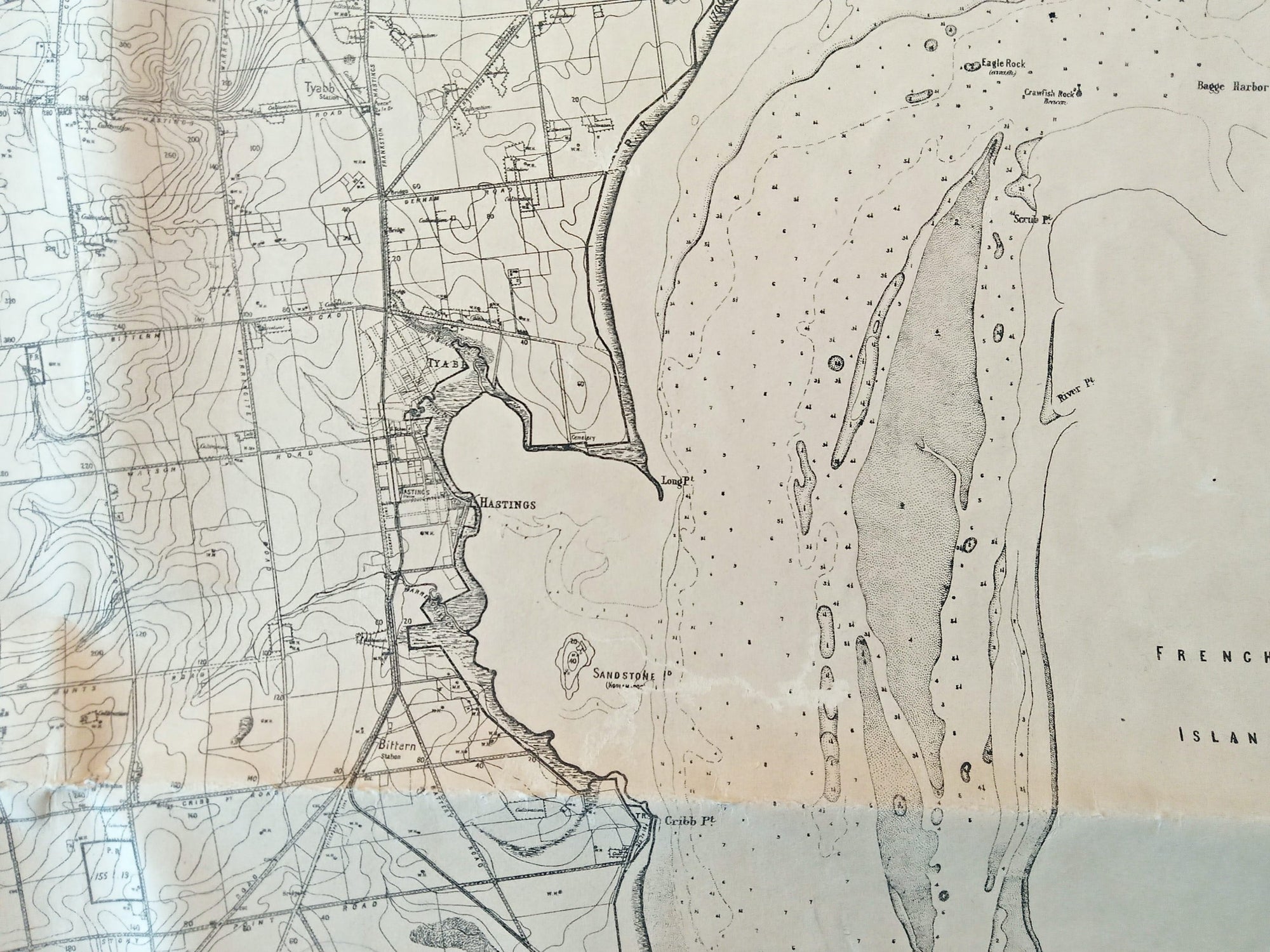
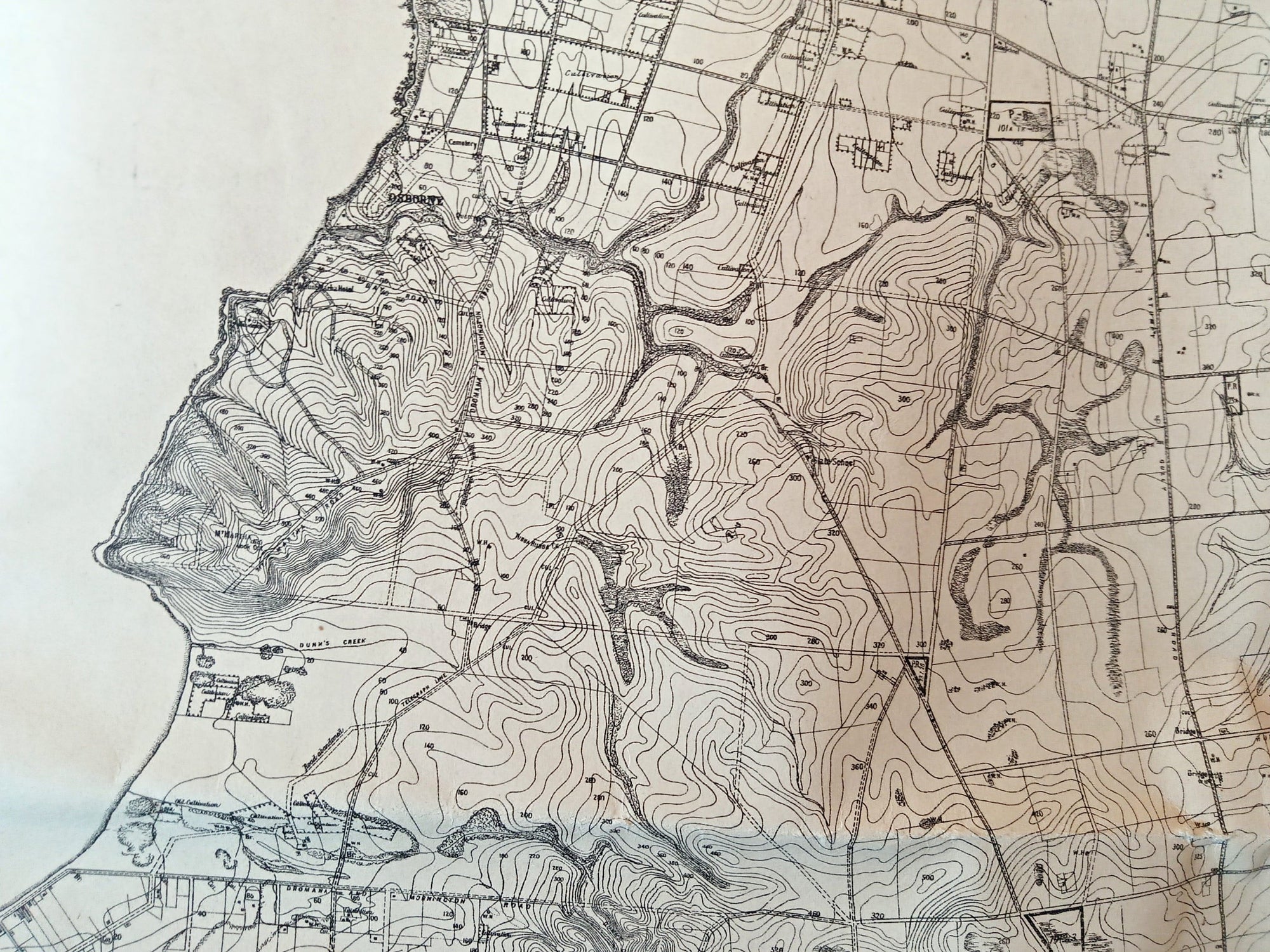
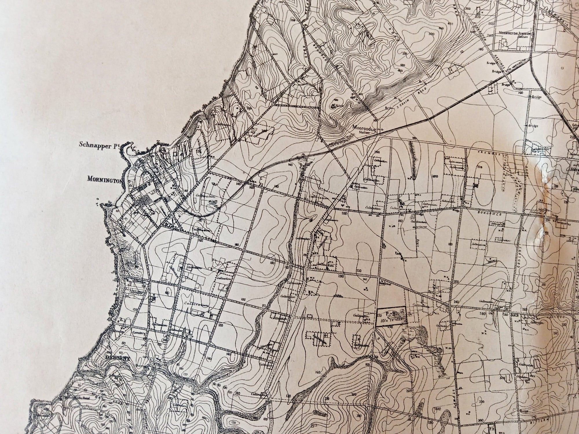
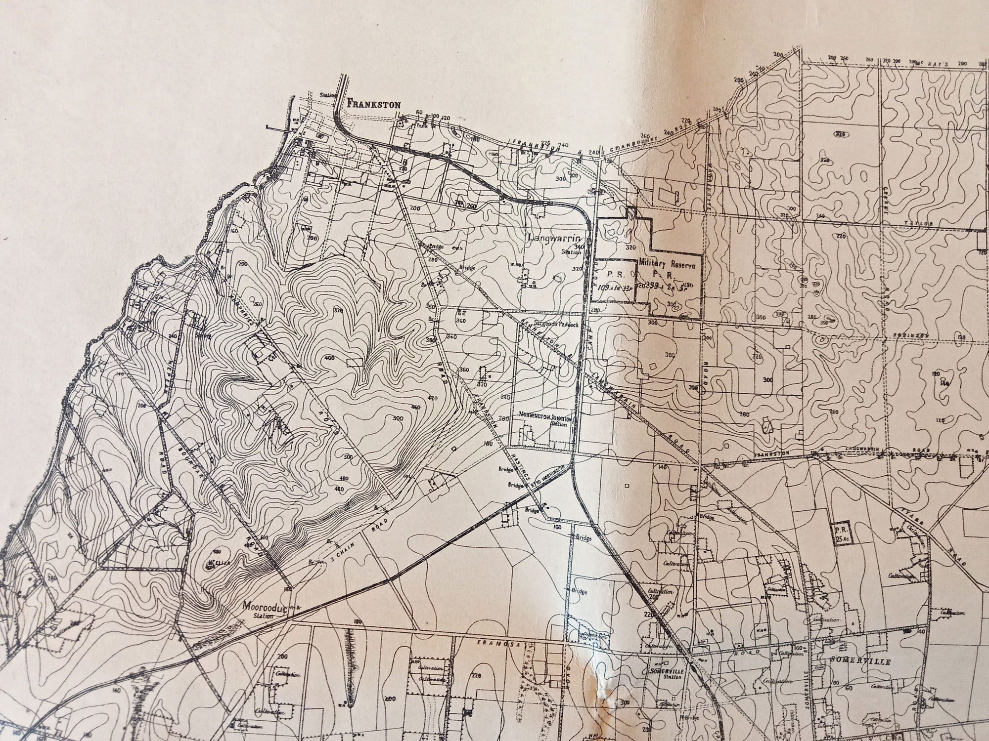
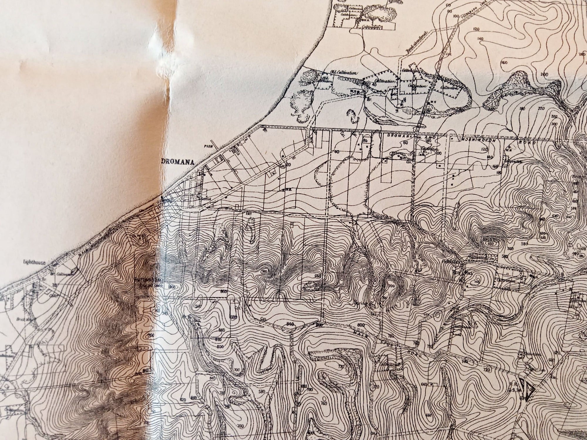
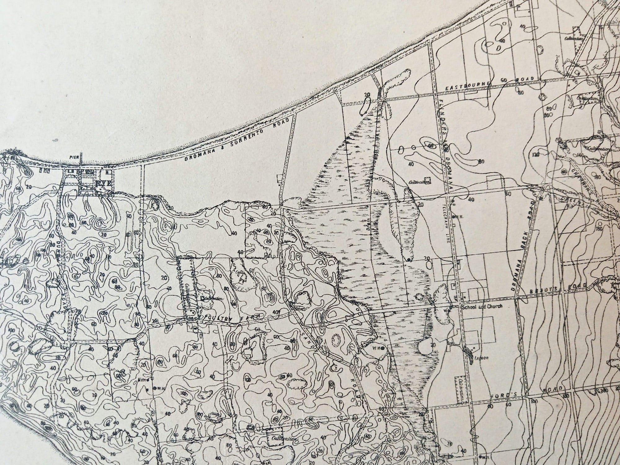
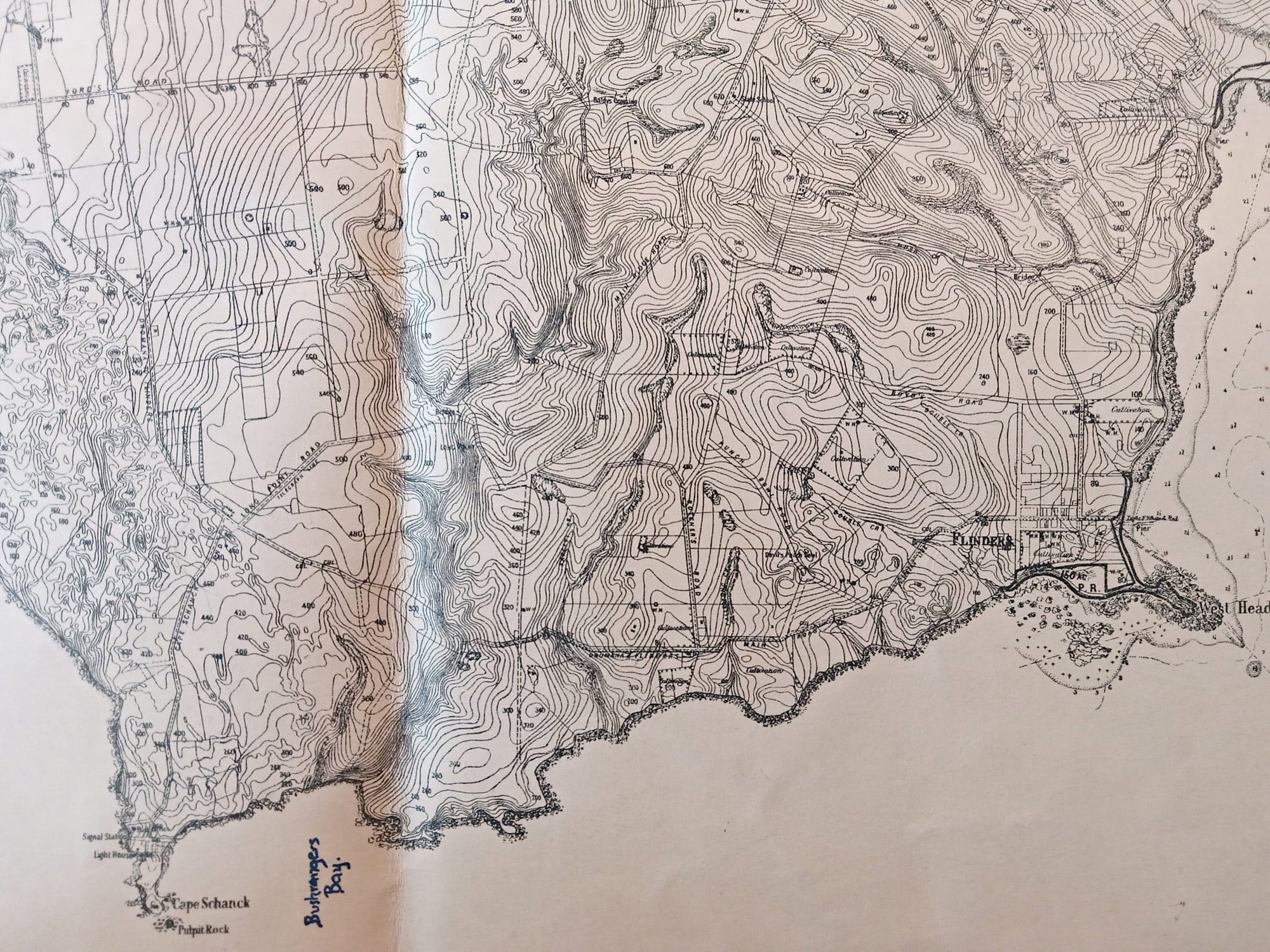
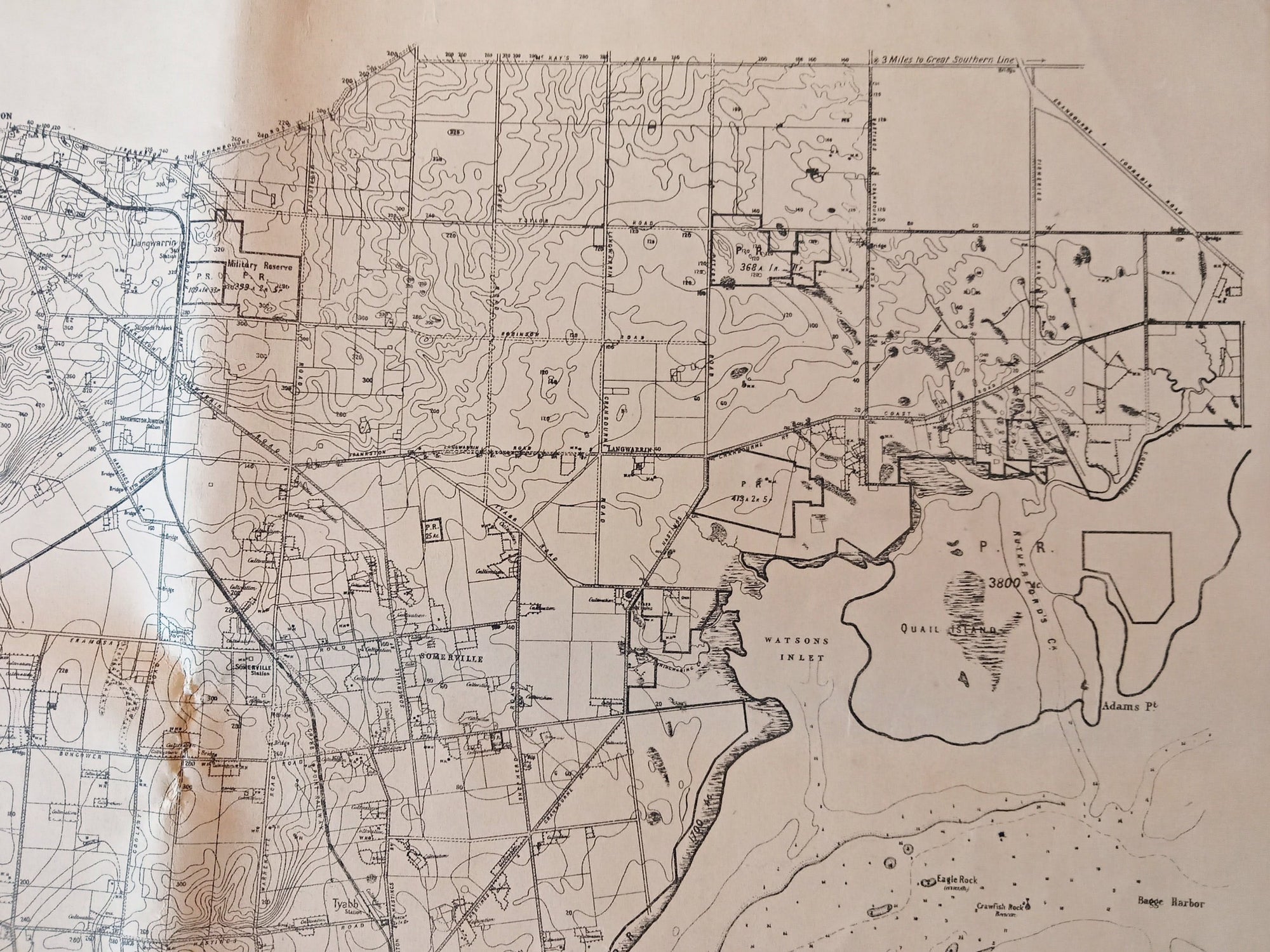
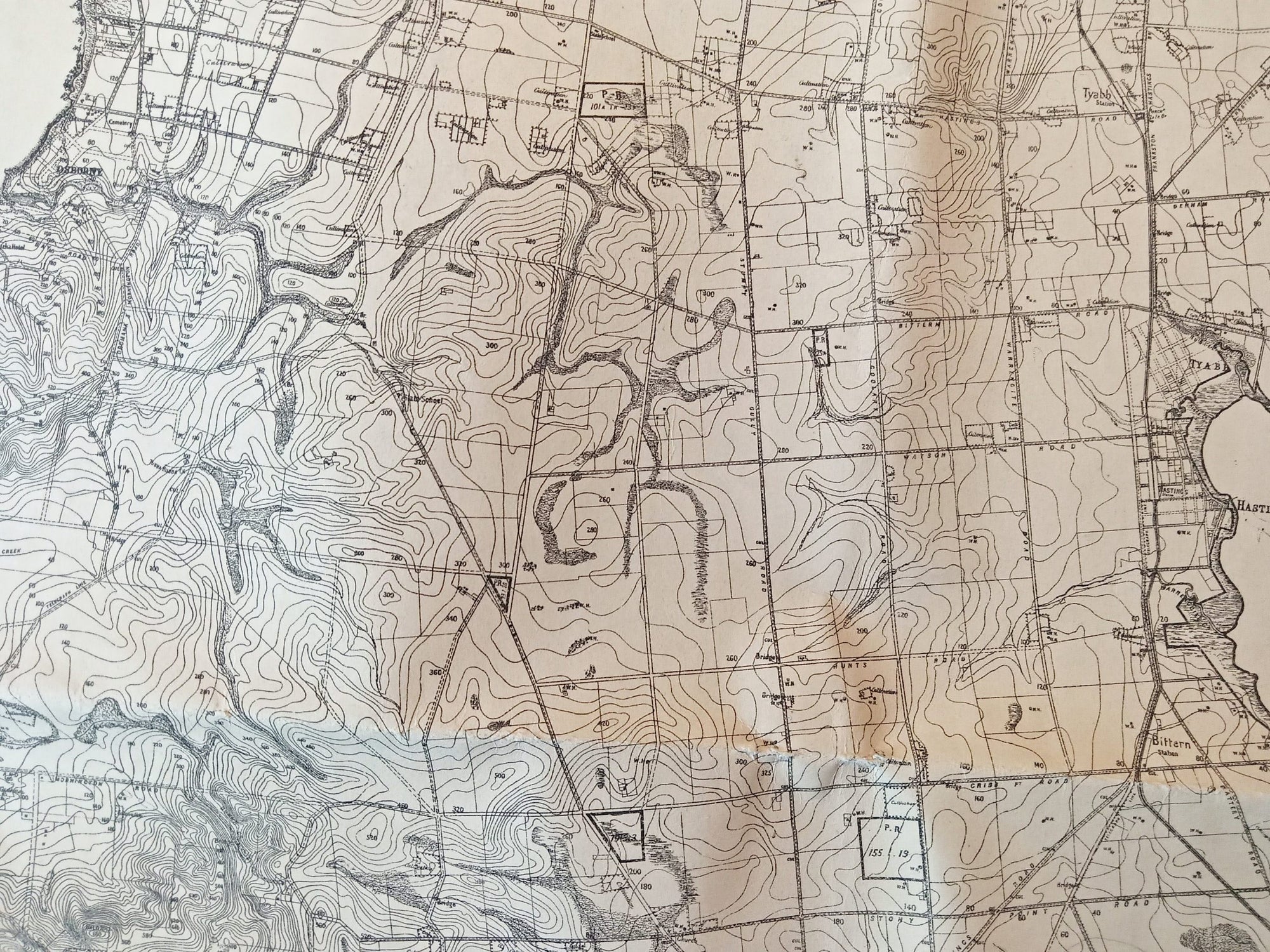
Rare 1891 Alexander Black Contour Map of the Mornington Peninsula Victoria Australia.
Prepared specially for the use of the Defence Department by Alexander Black, Surveyor General. Photo-lithographed at the Department of Lands and Survey by T. F McGauran. Melbourne 1981
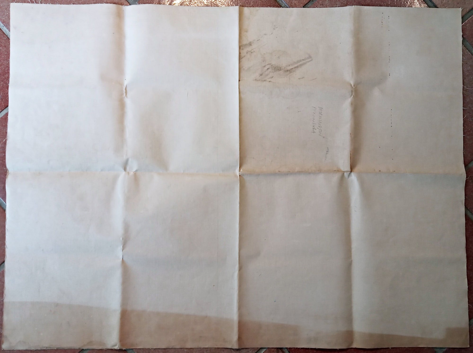
This is a folding map that would have been used by the army in the field. It was printed on waxed linen which gave it great strength and resistance to moisture and would have enabled it to be folded and unfolded many times.
worldcat.org shows only 2 copies in institutions. One being in the State Library of Victoria a detailed scan of which can be seen on their site from the link below....
https://viewer.slv.vic.gov.au/?entity=IE15498504&mode=browse
DATE PRINTED: 1891
SIZE: The full page unfolded is approx... 100 x 75 cm's
CONDITION: As shown in the photos.. All things considered for a folding map used by the army in the field I consider it to be in amazing condition. This was published as a folding map so has folds as can be seen. There are in one photo 4 letters someone has written in a fluro marker on the map, there are also age related marks and stains all quite minor. All can be seen in the photos. Please study the detailed photos for condition before purchasing..... Thank you.
Shipping: Will be posted in a postal tube with tracking and insurance.
Thank you.
Related products