Welcome to The Old Map Shop!
Continue Shopping
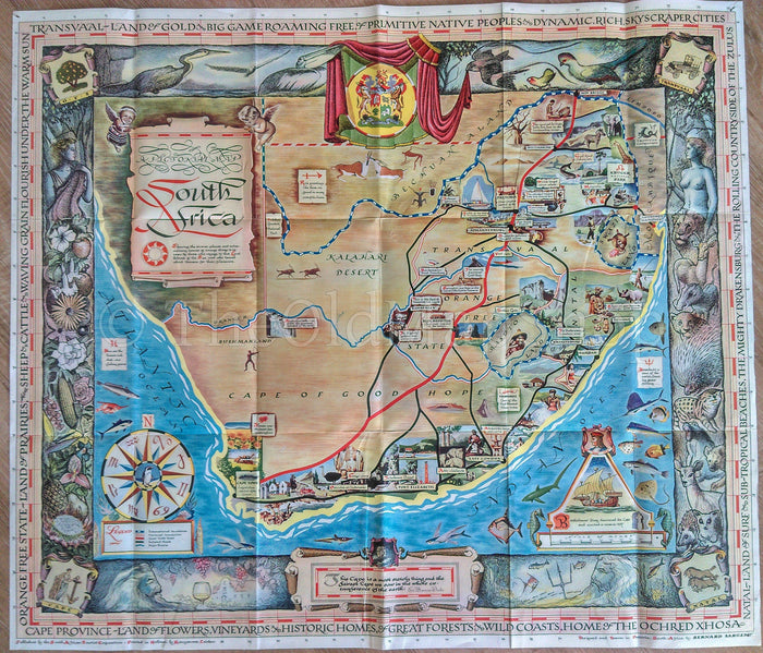
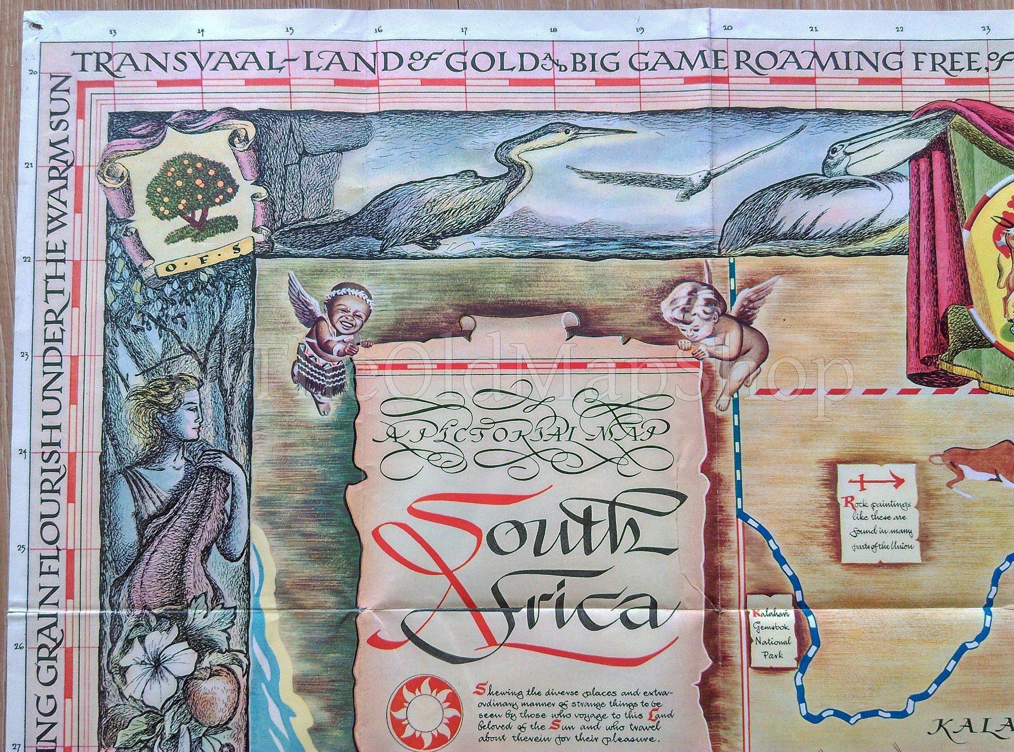
c.1950 South Africa Pictorial Map by Bernard Sargent
This map was published by the South African Tourist Corporation. This is a folding tourist map and was printed on both sides of the page.
TITLE: Pictorial Map South Africa...
DATE PRINTED: c.1950 Printed in Holland.
SIZE: The full page is approx. 25.5 x 29.5 inches, or 65 x 75 cm's
CONDITION: For its age and size for a folding map I would describe as good condition. As with all folding maps of this age there are always some splits in the folds or corner folds. With this particular map there are some small splits to some fold corners which have been strengthened from the back with clear archival tape. The four corners of the map margins also have pinholes which can be seen..... Please study the 10 detailed photos for condition before purchasing. Thank you.
Please Note: The watermark has been digitally added and will not appear on the map you receive.
Shipping: This is a folding map and will be shipped folded in a protective rigid envelope with an insert.
Thank you.