Welcome to The Old Map Shop!
Continue Shopping
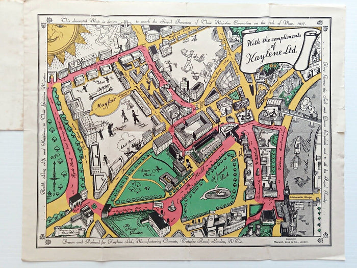
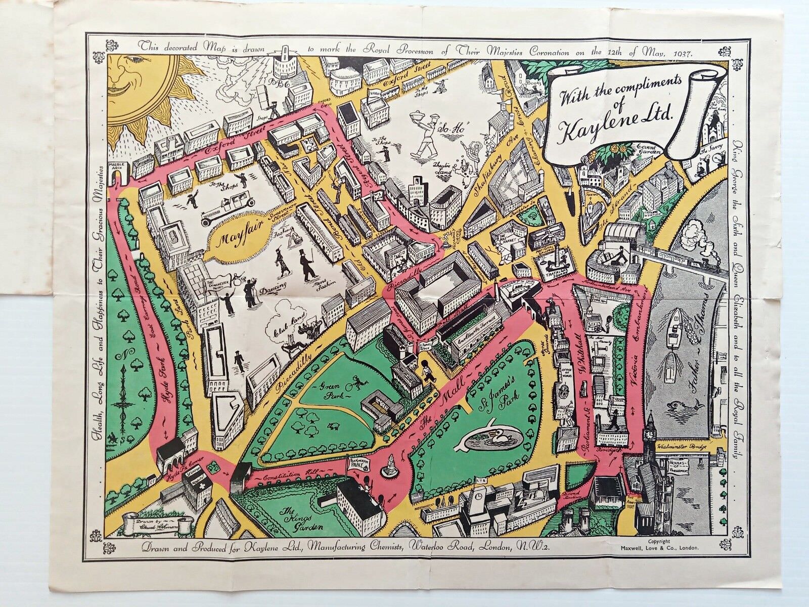
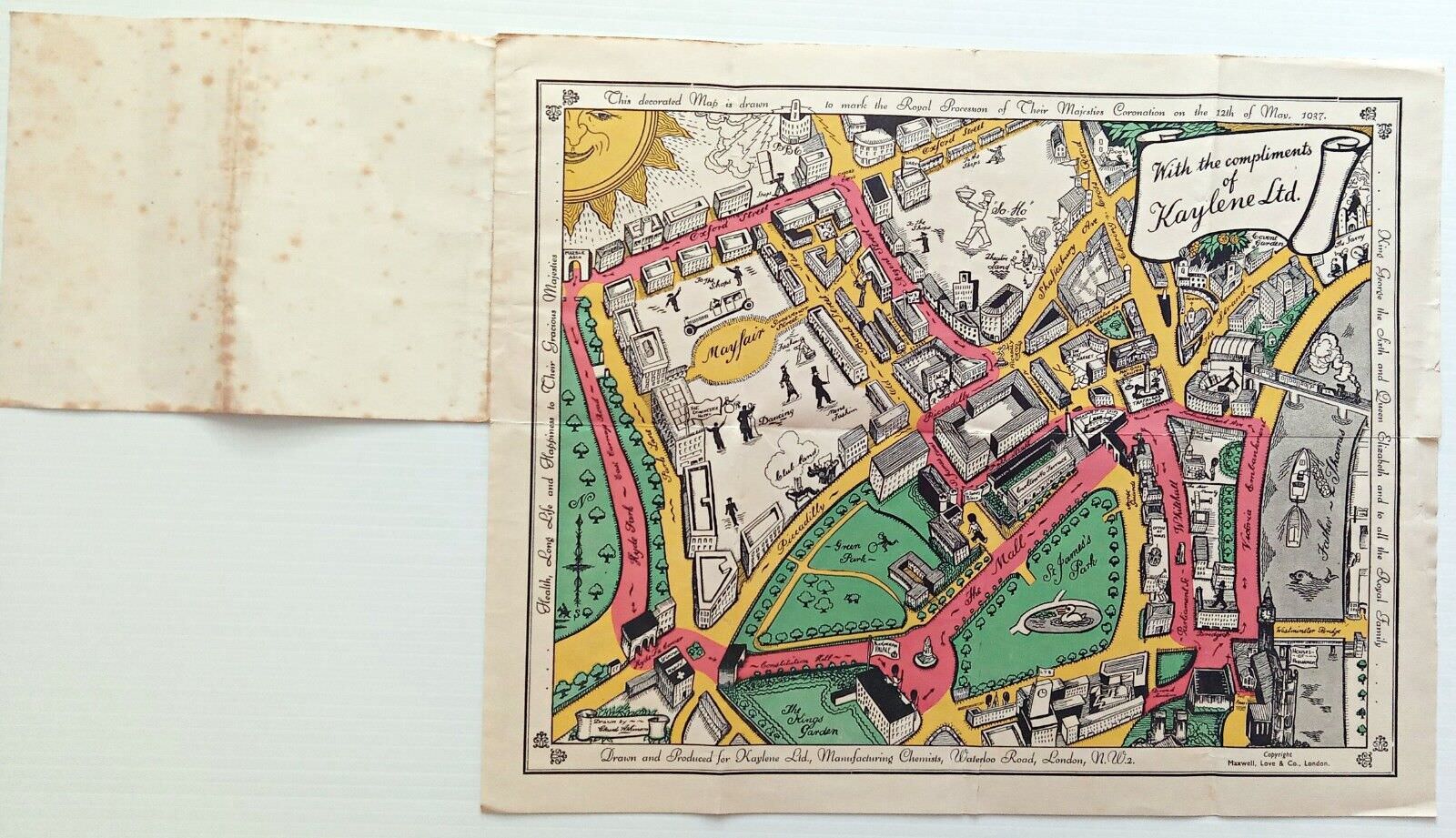
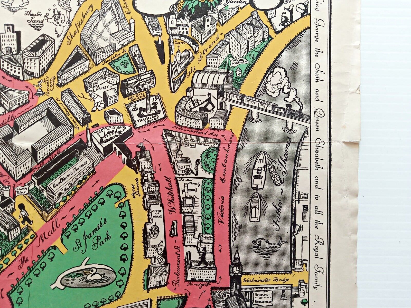
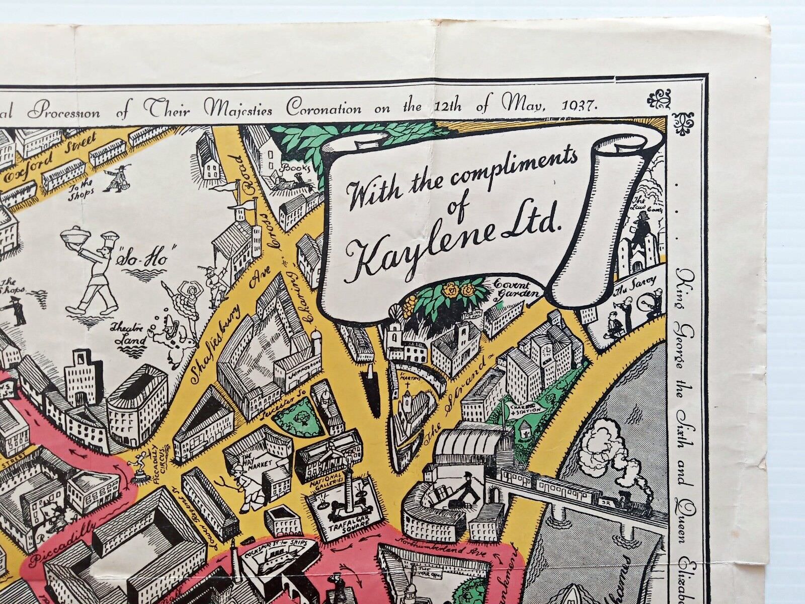
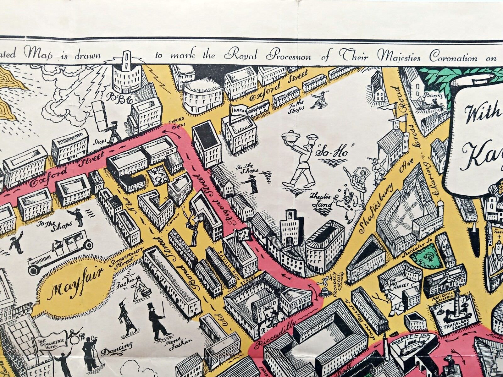
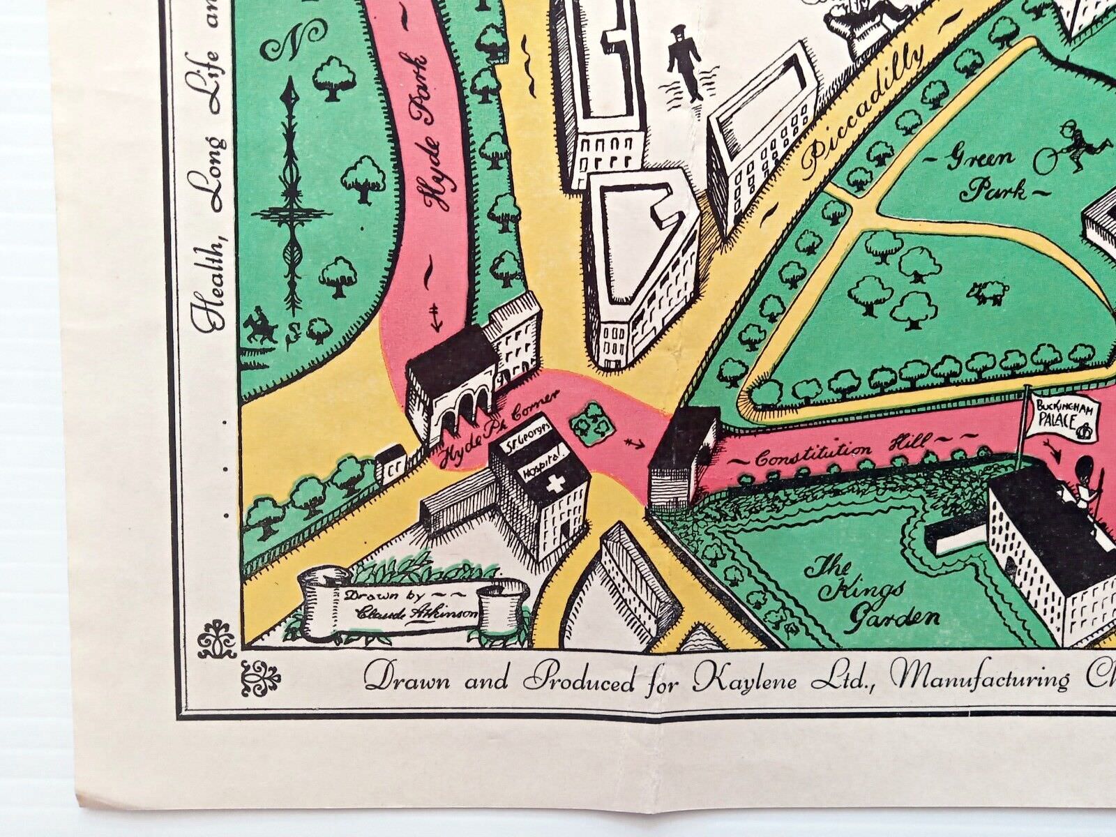
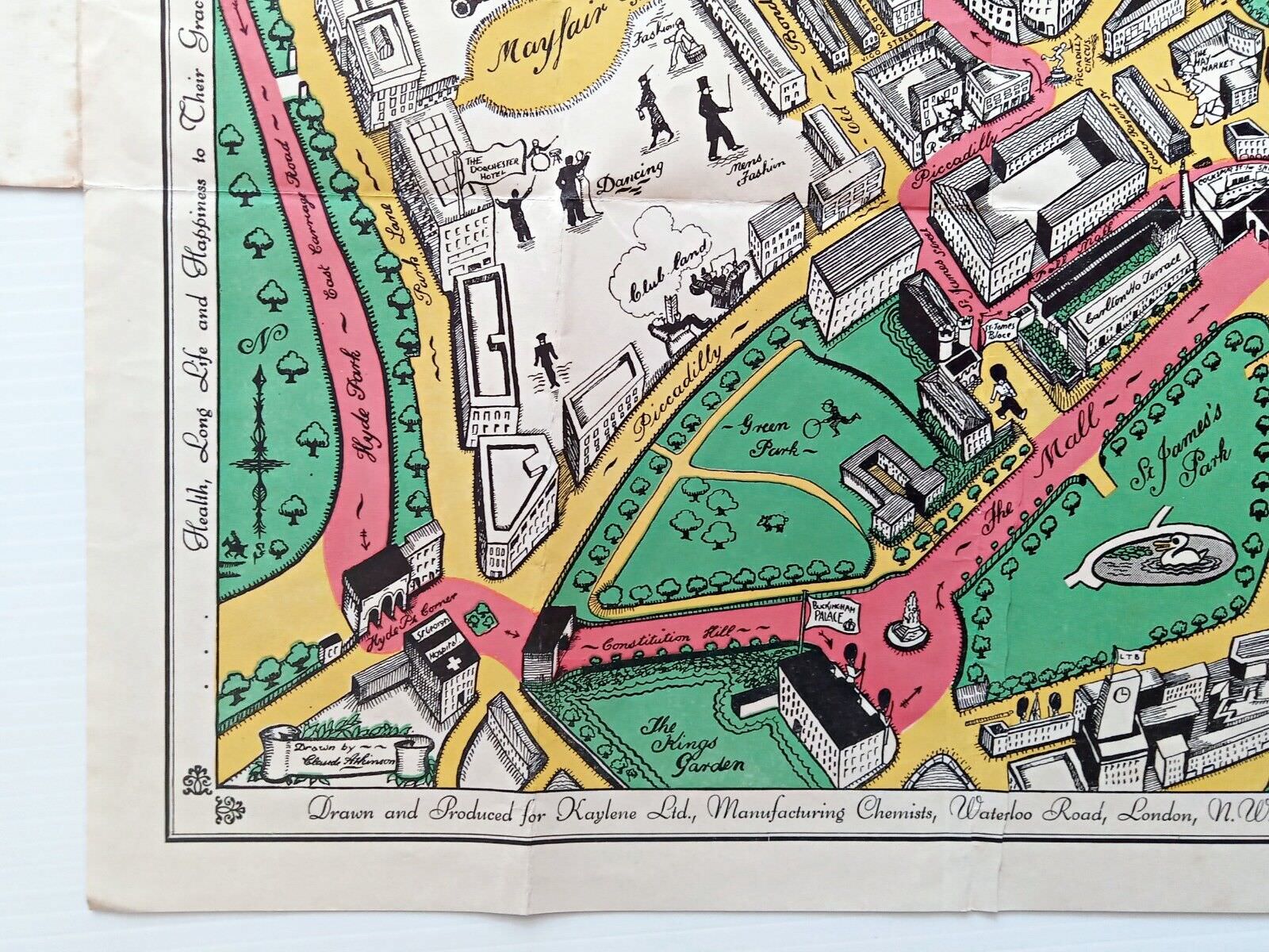
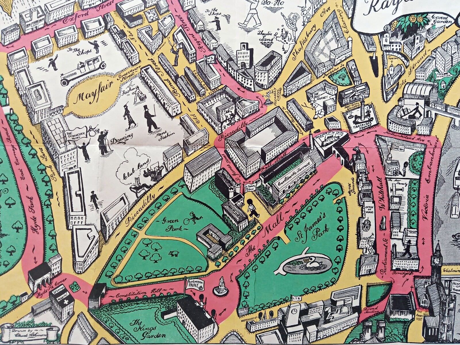
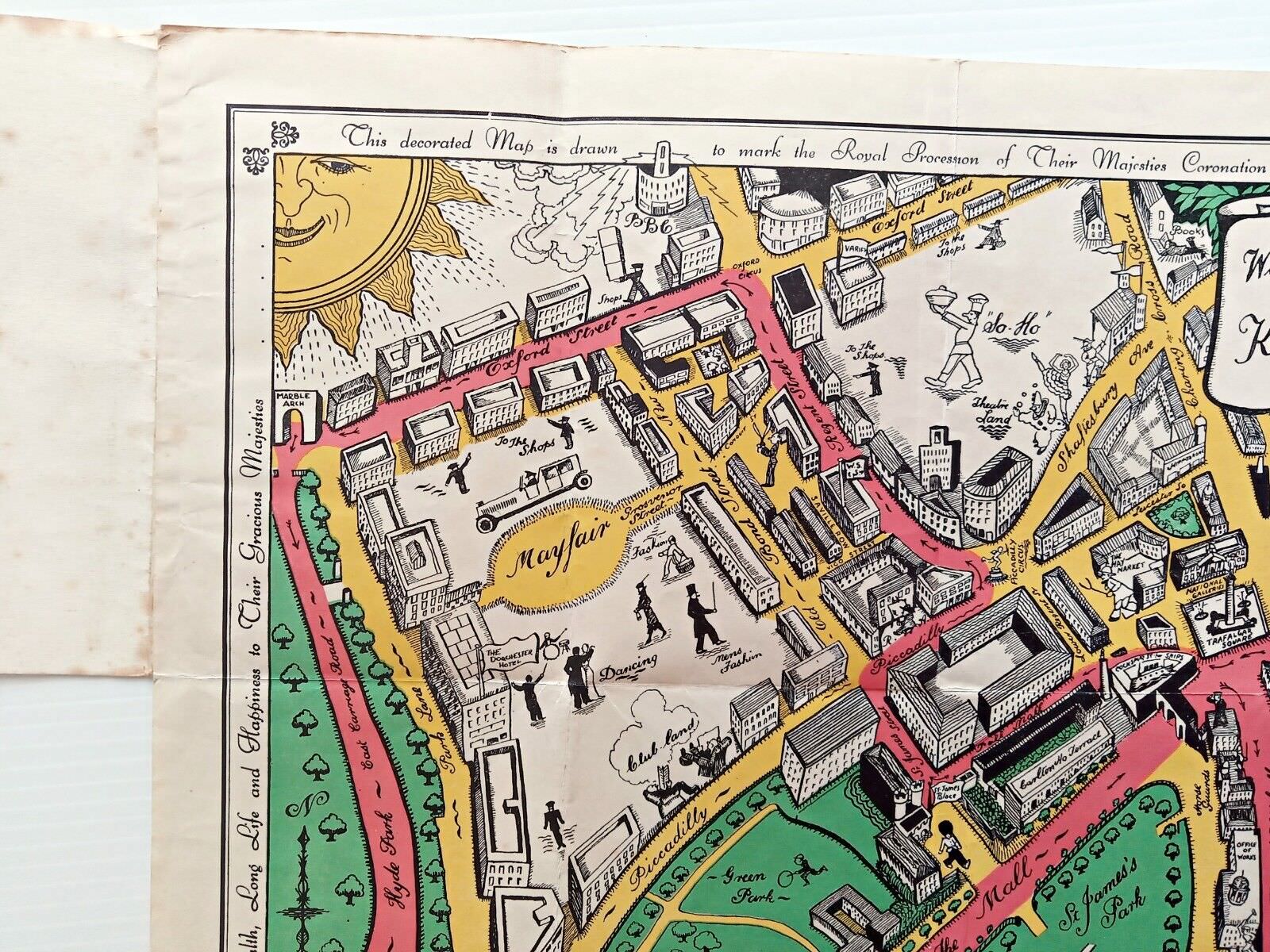
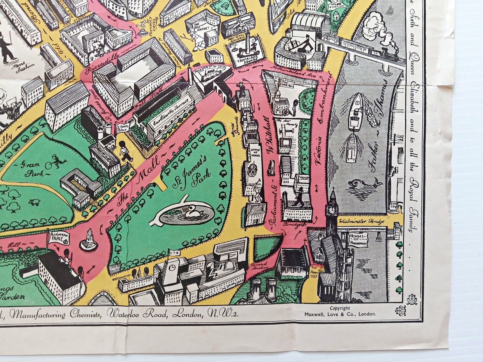
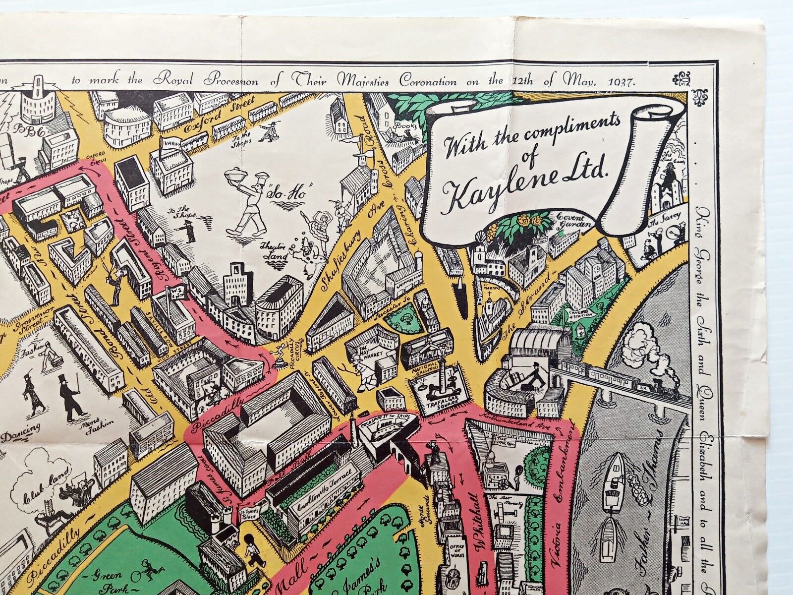
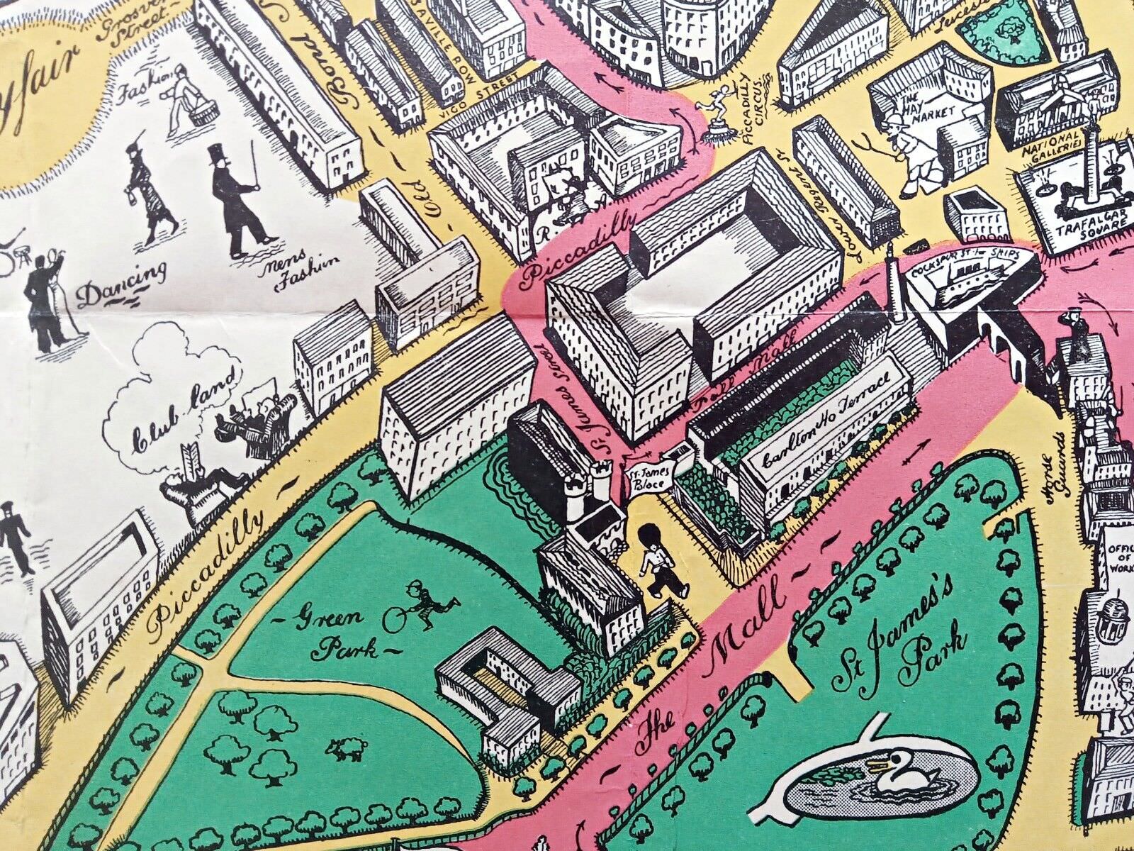
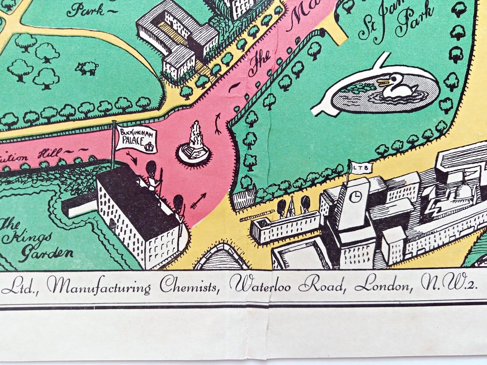
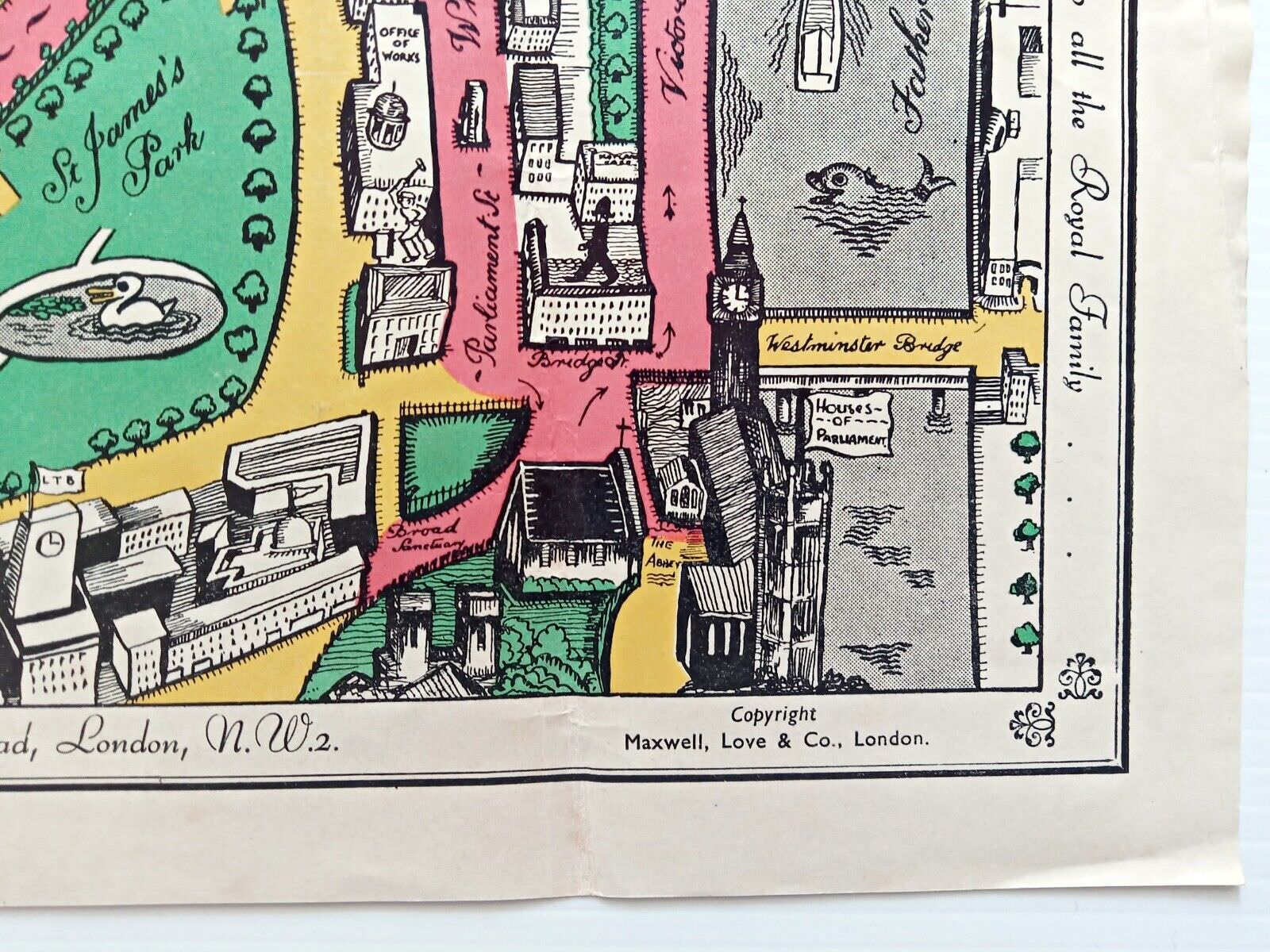
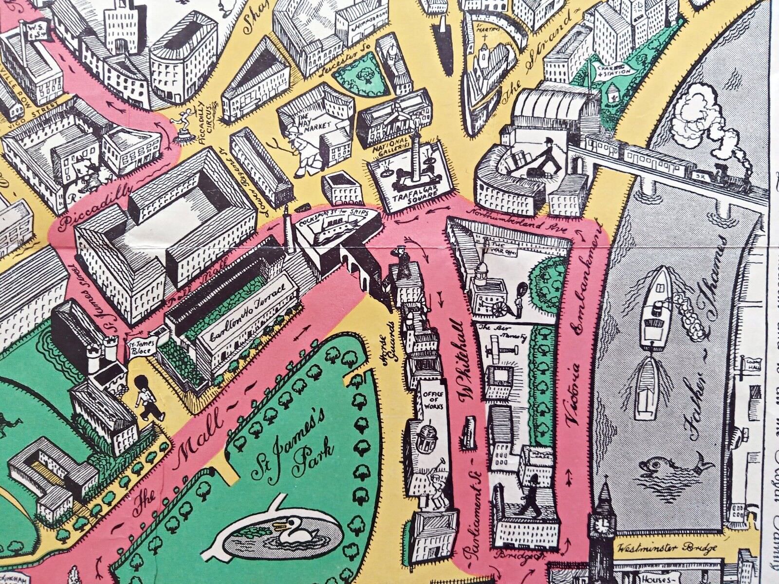
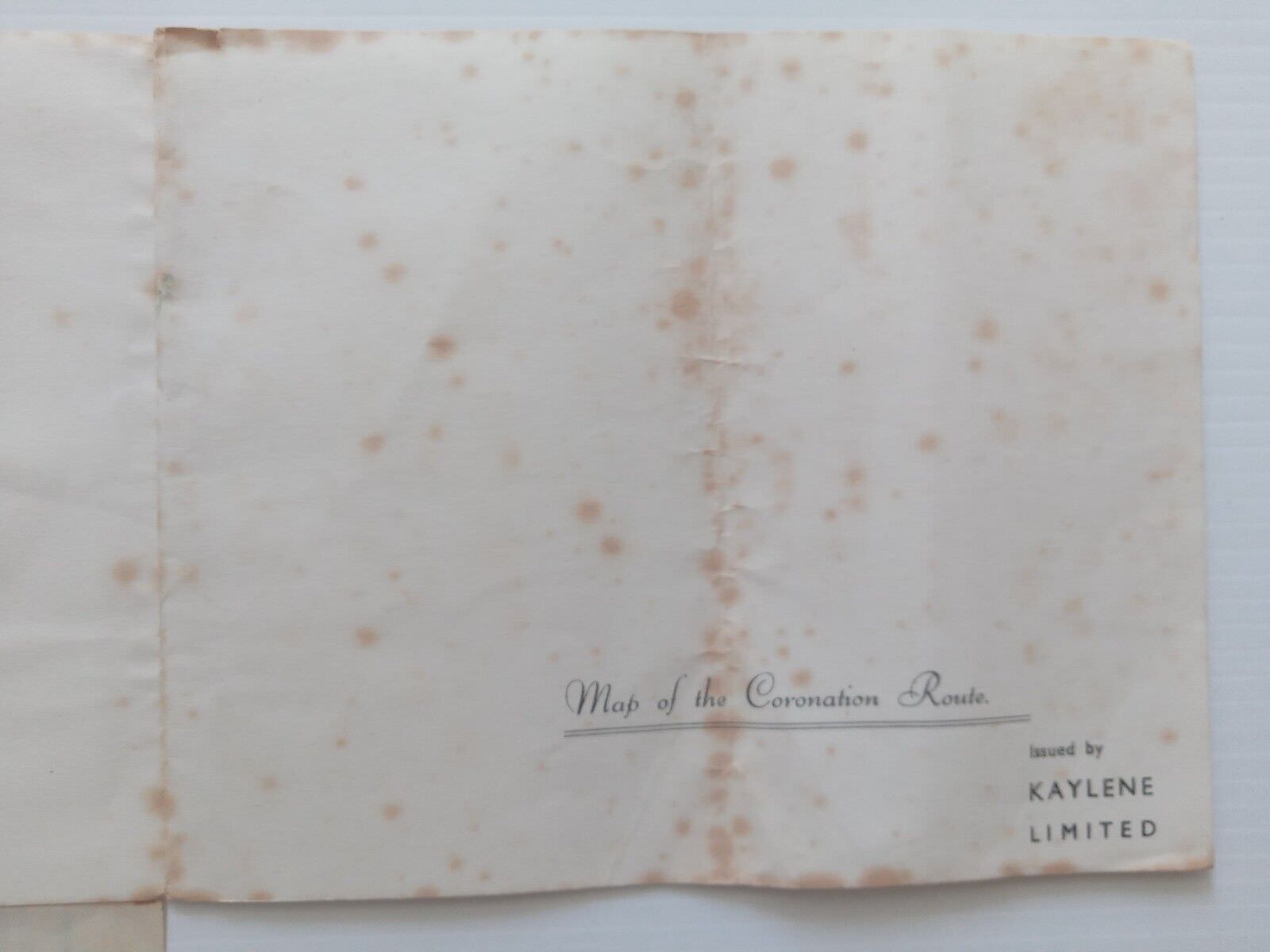
1937 Coronation Route King George 6th London Pictorial Map by Claude AtkinsonThis is a folding map produced for Kaylene Ltd.