Welcome to The Old Map Shop!
Continue Shopping
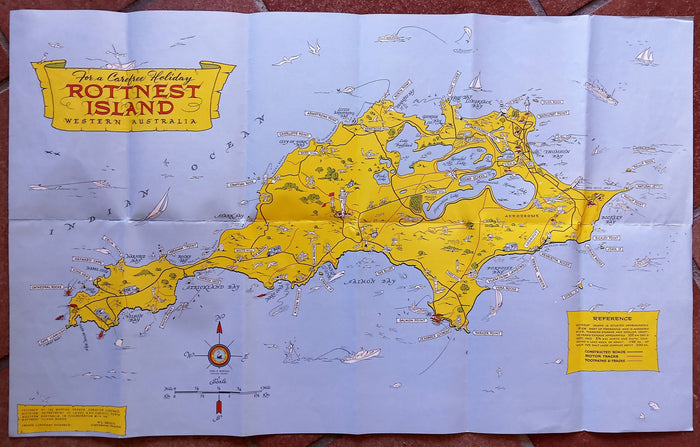
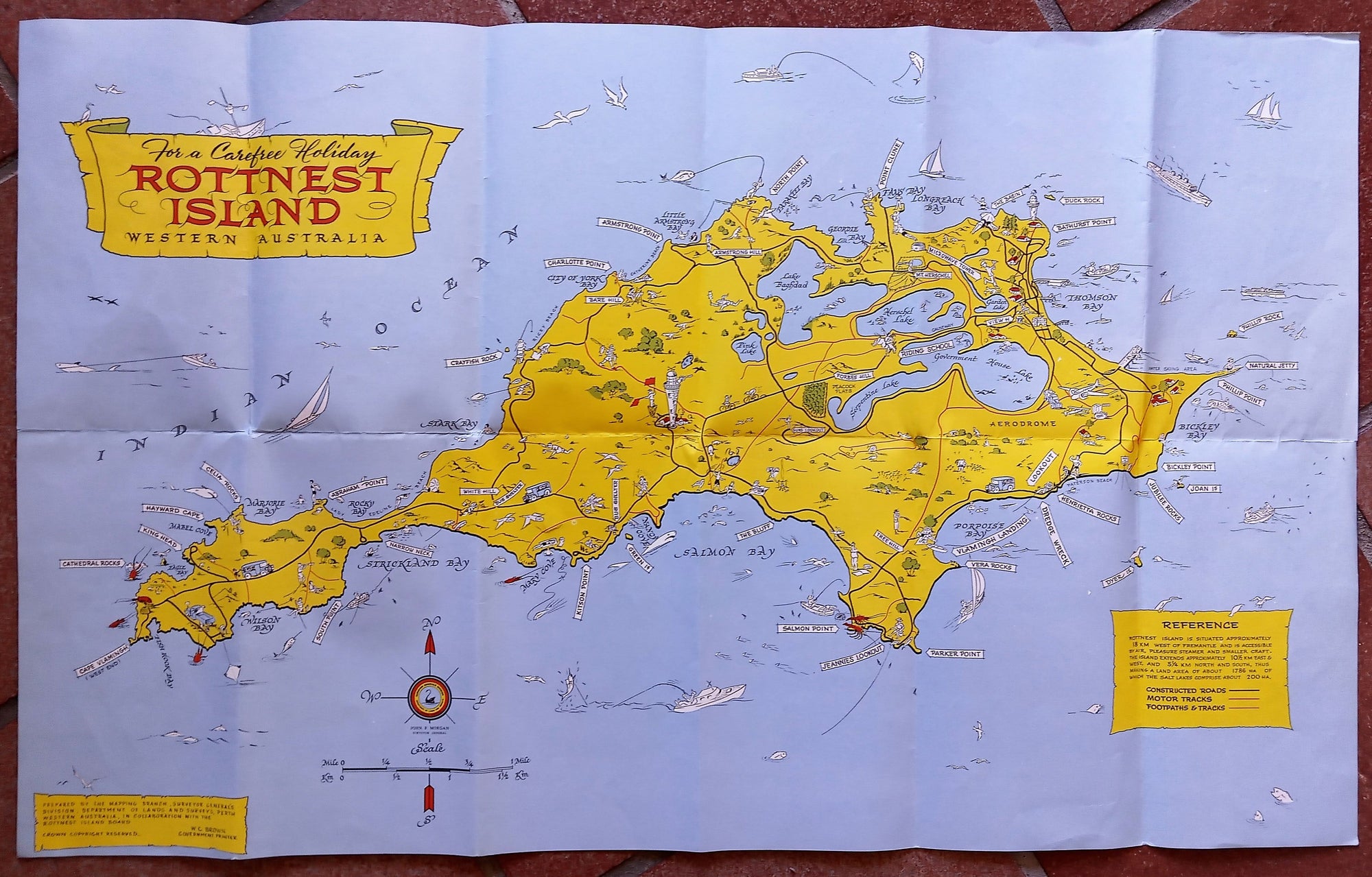
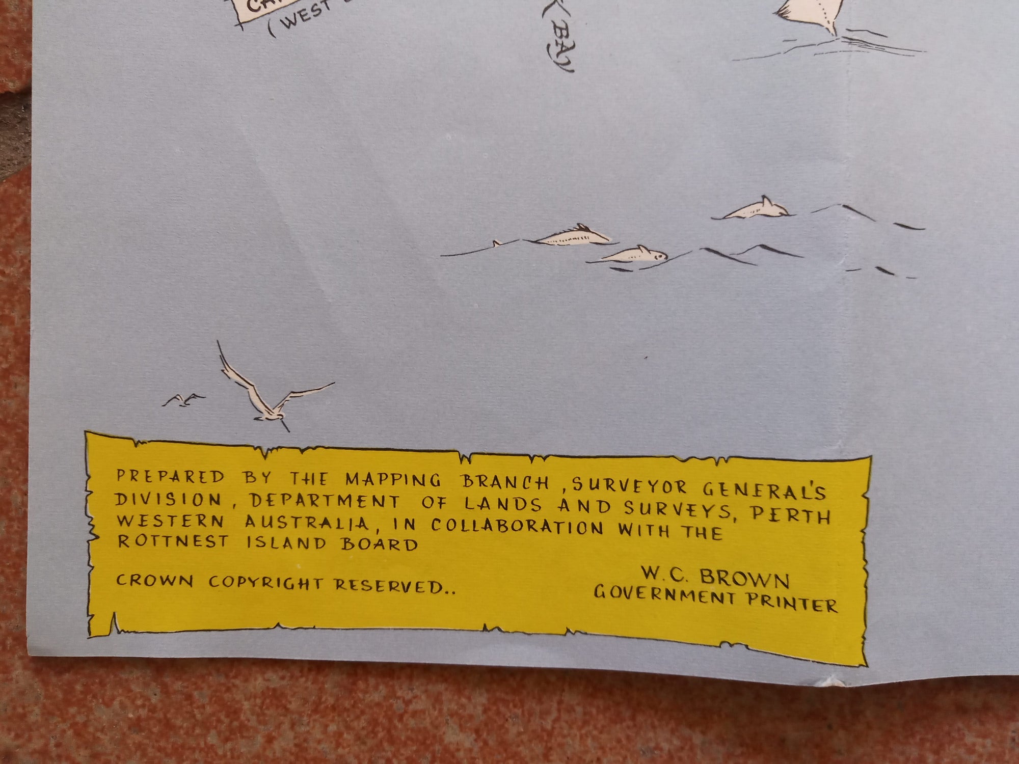
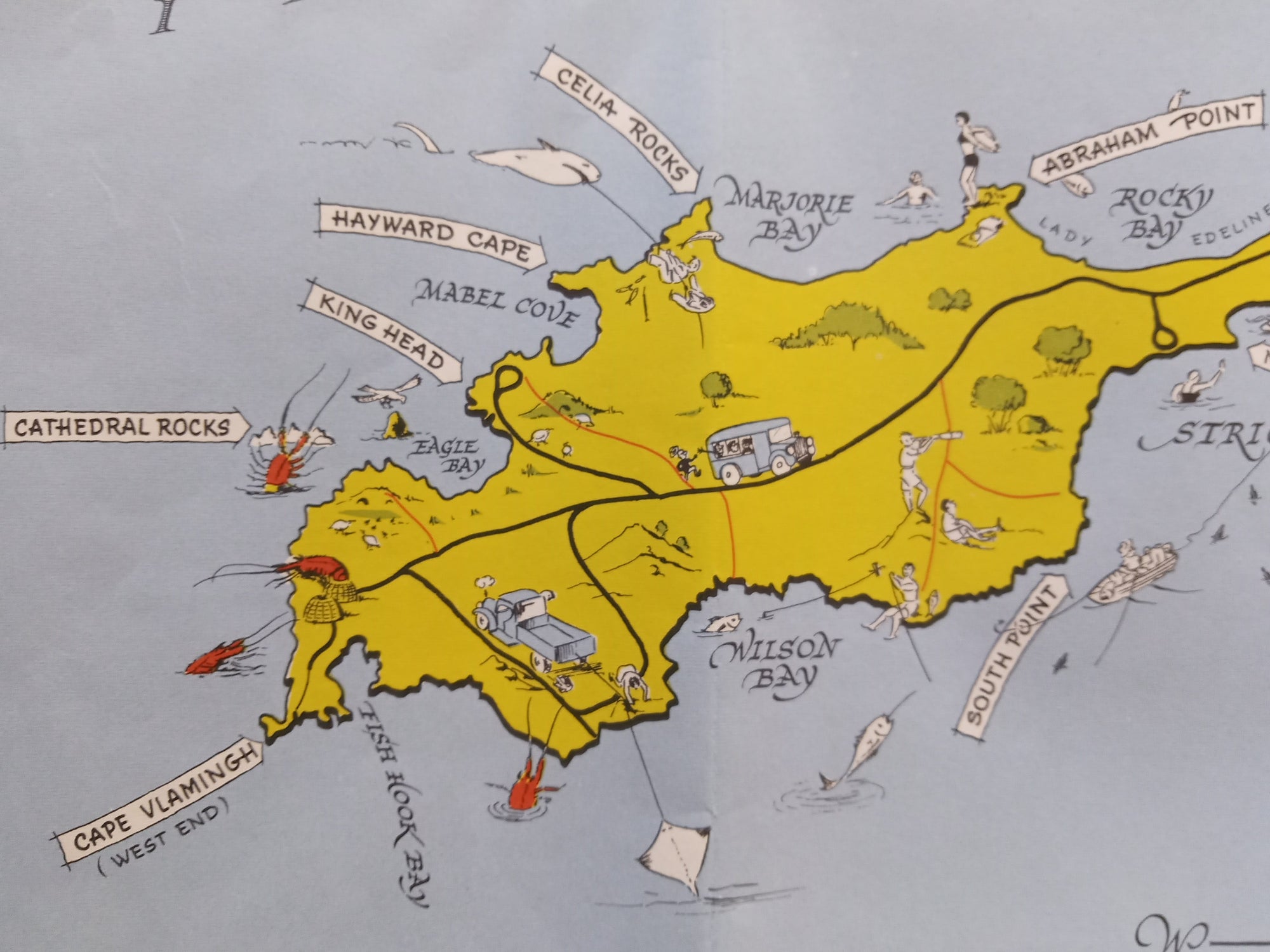
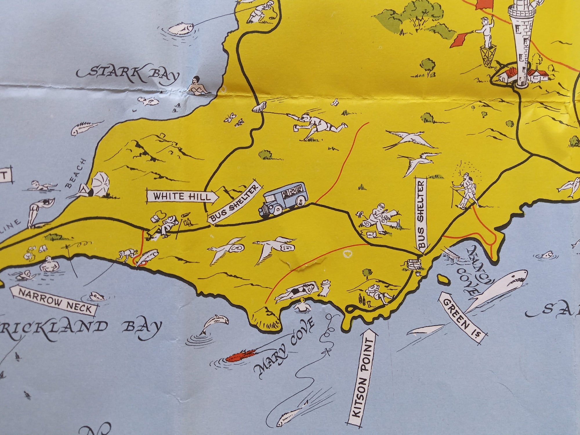
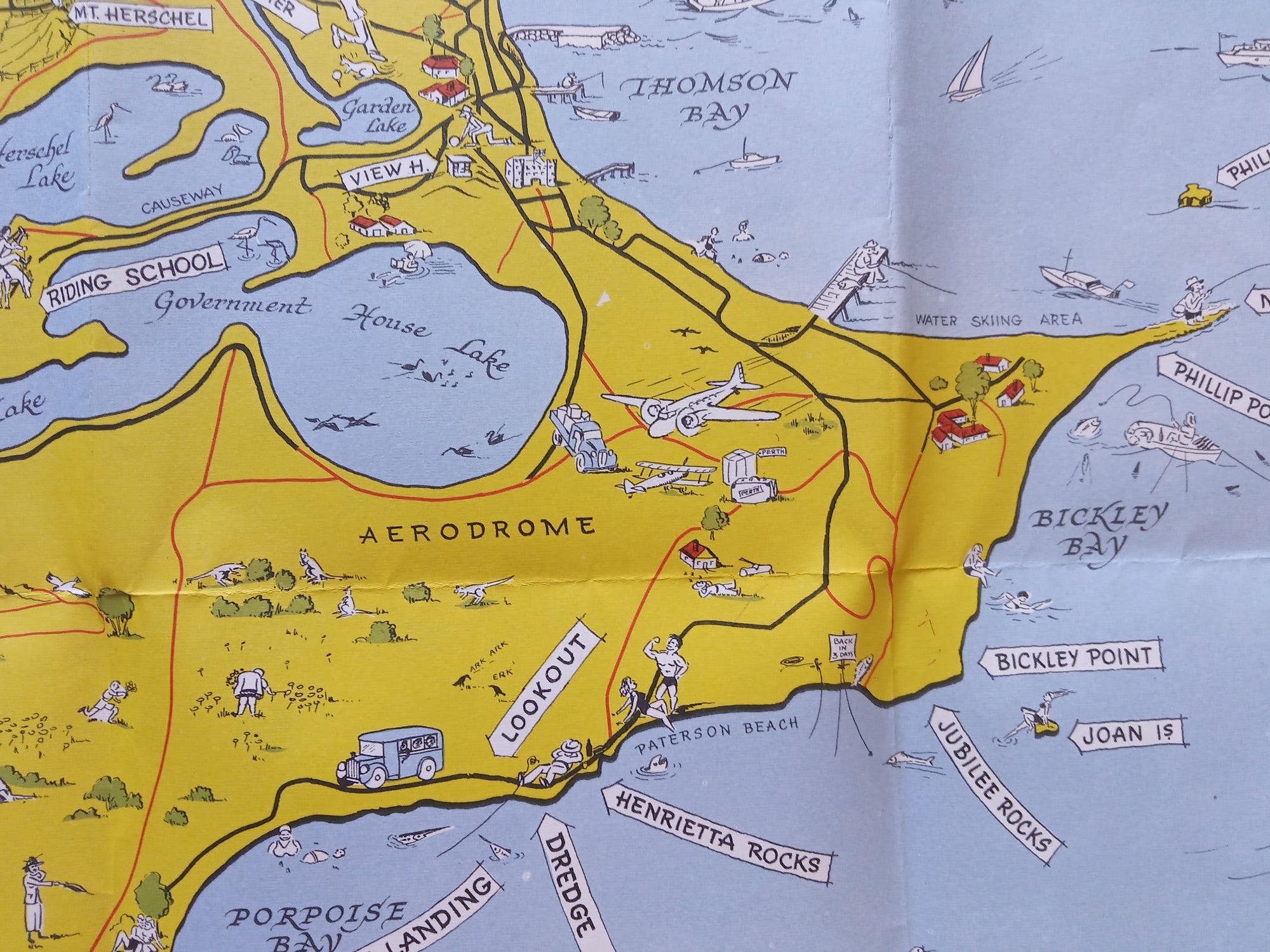
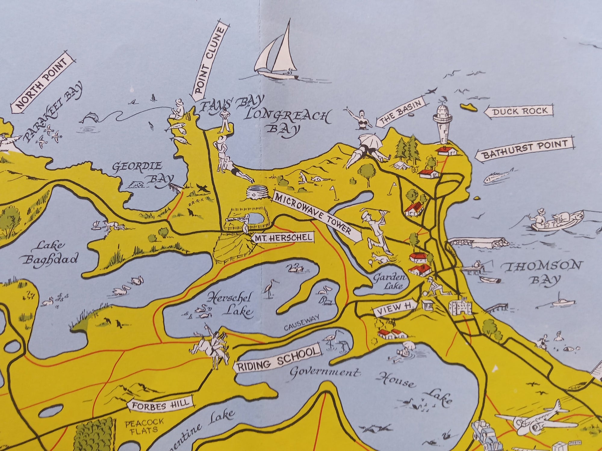
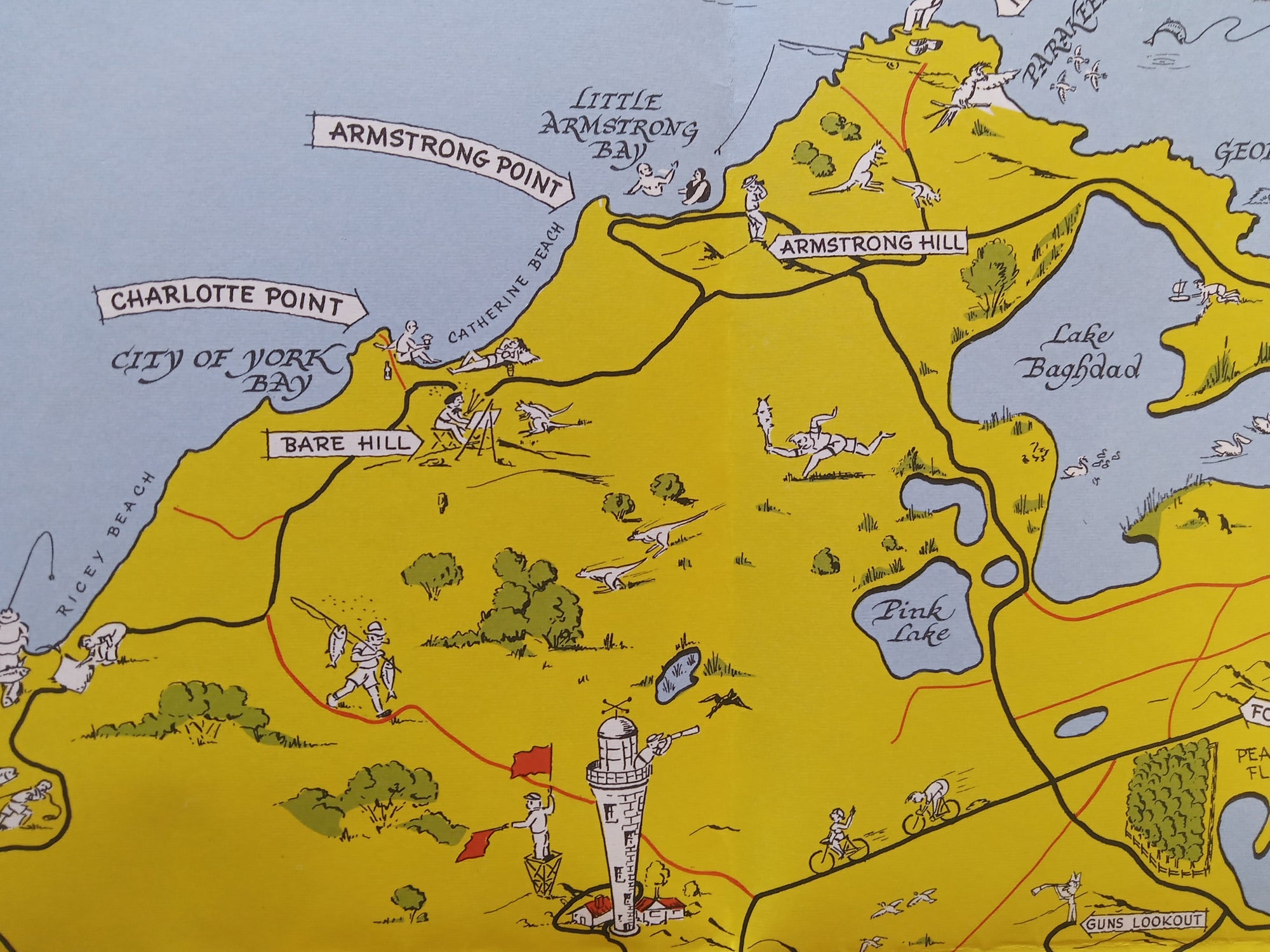
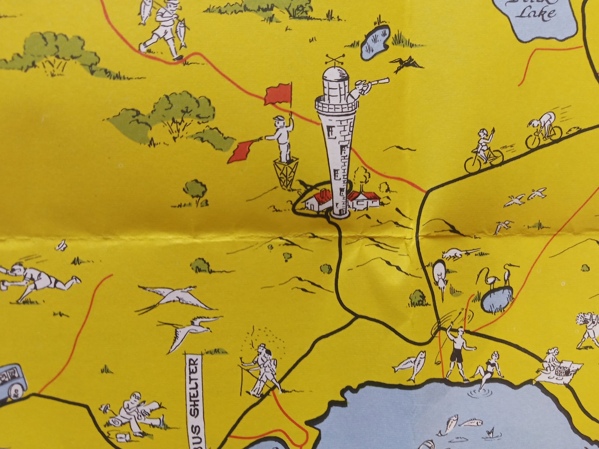
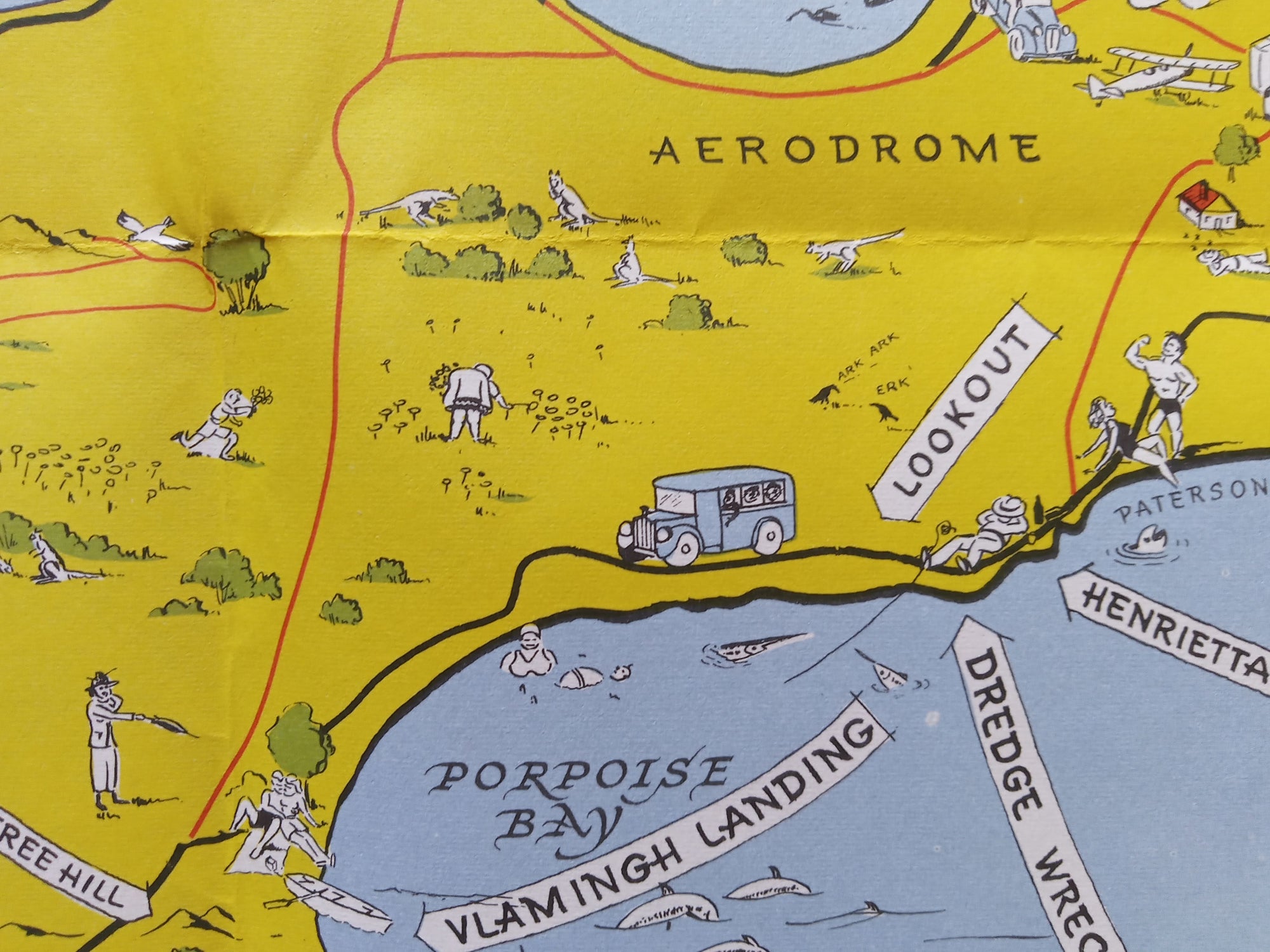
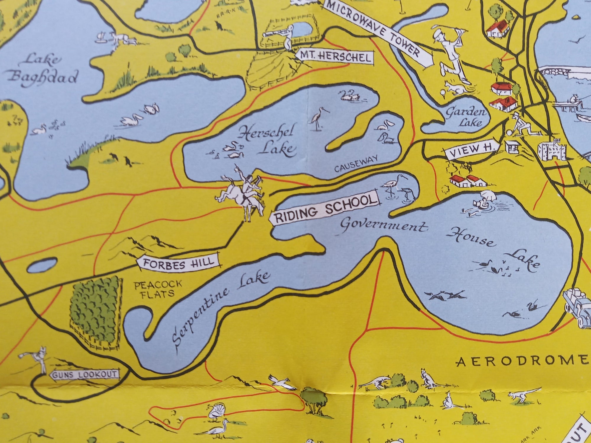
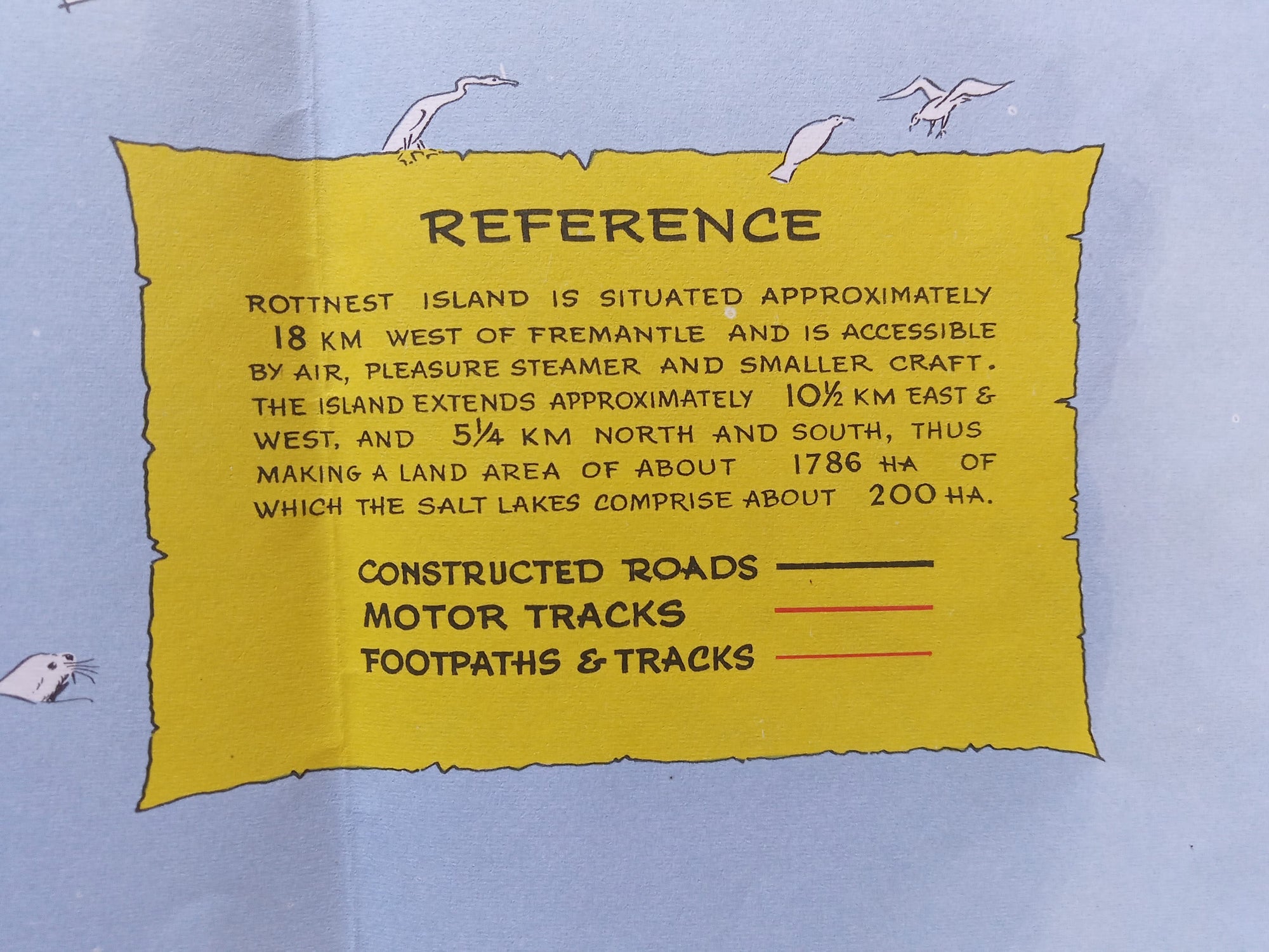
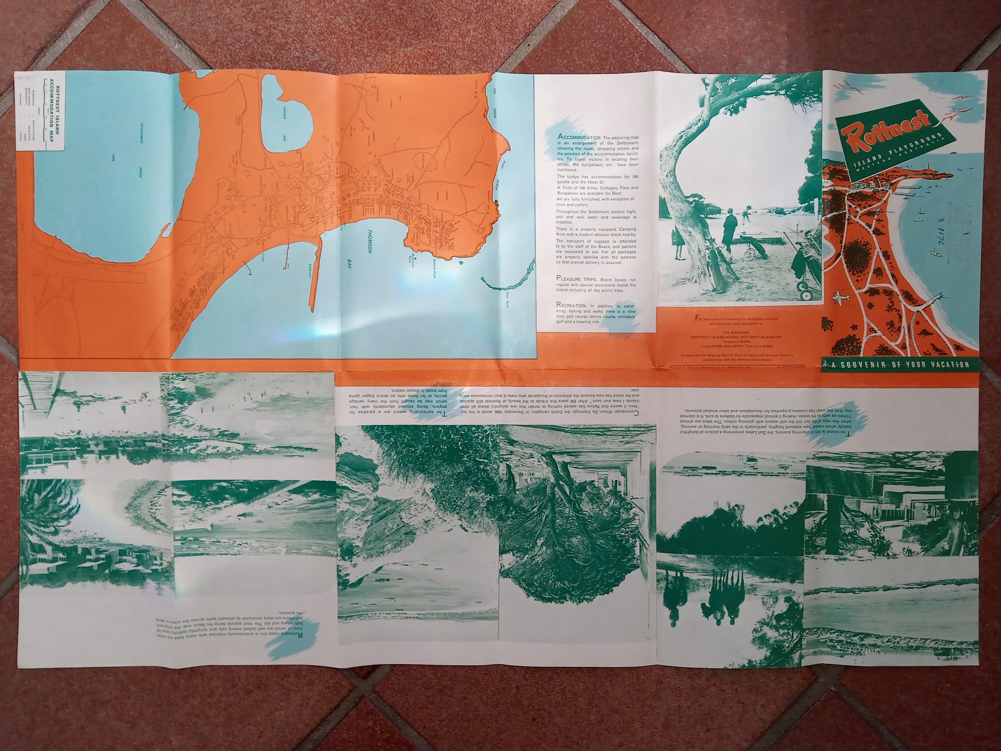
c.1960 Rottnest Island, near Perth, Western Australia Pictorial Tourist Map. This is a folding map. The reverse side is shown in the last photo.TITLE: For a Carefree Holiday Rottnest Island Western AustraliaCARTOGRAPHER: Not know but - Prepared by the Mapping Branch, Surveyor General's Division, Department of Lands & Surveys, Perth, Western Australia..DATE PRINTED: c.1960SIZE: The full page is approx. 29 x 17.5 inches, or 74 x 45 cm'sCONDITION: For a folding map I would describe as good condition. Some pin holes in 2 corner folds. Very hard to see unless you hold up to light. To be expected from a folding map of this age. I consider very minor and not noticeable. Just flatten and ready to mount and frame. Please study the detailed photos for condition before purchasing. Thank you.Shipping: This is a folding map and will be shipped folded in a protective rigid envelope with an insert.